Melbourne: Bike Path
Places and attractions in the Bike path category
Categories
- Shopping
- Museum
- Park
- Shopping centre
- Street
- Area
- Church
- Art museum
- Bike path
- Cycling
- Theater
- Bridge
- History museum
- Concerts and shows
- Sport
- Sport venue
- Skyscraper
- Historical place
- Nightlife
- City hall
- Specialty museum
- Shopping district
- Art gallery
- Garden
- Arenas and stadiums
- Architecture
- Music venue
- Gothic Revival architecture
- Concert hall
- Universities and schools
- City
- Cemetery
- Library
- Memorial
- Performing arts
- Modern art museum
- Lake
- Sacred and religious sites
- Music and shows
- Golf
- Cinema
- Monuments and statues
- Market
- Mosque
- Neighbourhood
- Climbing
- Piers and boardwalks
- Entertainment
- Football
- Synagogue
- Event space
- Bars and clubs
- Modernist architecture
- Tennis
- Playground
- Dancing
- Italianate architecture
- Victorian architecture
- Art Deco architecture
- Neoclassical architecture
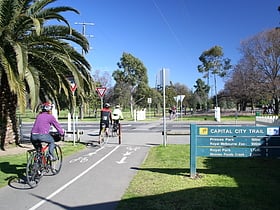
Capital City Trail
The Capital City Trail is a vibrant urban bike path that encircles the heart of Melbourne, Australia, offering both locals and visitors a unique way to experience the city's diverse landscapes. This well-maintained circuit stretches for approximately 29 kilometers...
Federation Trail
The Federation Trail is a 23-kilometre-long shared use path for cyclists and pedestrians, which mainly follows the heritage-listed Main Outfall Sewer through the western suburbs of Melbourne, Victoria, Australia.
EastLink Trail
The EastLink Trail is a shared use path for cyclists and pedestrians, which follows the EastLink tollway for most of its length from Ringwood to Dandenong, in the outer eastern suburbs of Melbourne, Victoria, Australia.
Outer Circle Trail
The Outer Circle Trail, also known as the Anniversary Trail, Anniversary Outer Circle Trail, or even the Outer Circle Anniversary Trail, is a shared use path for cyclists and pedestrians, which partly follows the Alamein Line through the inner eastern suburbs of Melbourne, Victoria, Australia.
Merri Creek Trail
The Merri Creek Trail is a shared use path for cyclists and pedestrians that follows the Merri Creek through the northern suburbs of Melbourne, Victoria, Australia.
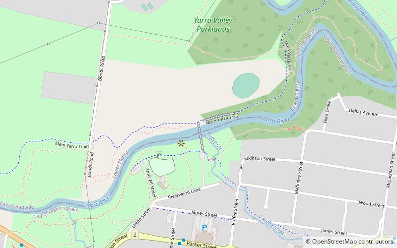
Main Yarra Trail
The Yarra Trail is a shared use path for cyclists and pedestrians, which follows the Yarra River through the north eastern suburbs of Melbourne, Victoria, Australia.
Steele Creek Trail
The Steele Creek Trail is a shared use path for cyclists and pedestrians, which follows Steele Creek in the Outer North Western suburbs of Keilor Park, Keilor East, Tullamarine, Airport West, Melbourne Airport, Avondale heights, Essendon West and Niddrie in Melbourne.
Ringwood–Belgrave Rail Trail
The Ringwood - Belgrave Rail Trail is a shared use path for cyclists and pedestrians, which follows the Belgrave railway line from the Mullum Mullum Creek Trail in Ringwood to Belgrave railway station in Belgrave, in the outer eastern suburbs of Melbourne, Victoria, Australia.
Scotchmans Creek Trail
The Scotchmans Creek Trail is a shared use path for cyclists and pedestrians, which follows Scotchmans Creek through the eastern suburbs of Melbourne, Victoria, Australia.
Maribyrnong River Trail
The Maribyrnong River Trail is a shared use path for cyclists and pedestrians, which follows the Maribyrnong River through the north western suburbs of Melbourne, Victoria, Australia.
Sandridge Trail
The Sandridge Trail is a shared-use path for cyclists and pedestrians located in the inner southern suburb of Port Melbourne in Melbourne, Victoria, Australia. It follows the former Port Melbourne railway line, now the 109 tram route.
Hobsons Bay Coastal Trail
The Hobsons Bay Coastal Trail is a shared use path for cyclists and pedestrians, which follows the coast line of Hobsons Bay in the inner western suburbs in Melbourne, Victoria, Australia.
Bay Trail
The Bay Trail is a shared use path for cyclists and pedestrians which follows the coastline of Port Phillip Bay through the south-eastern suburbs of Melbourne, Victoria, Australia.
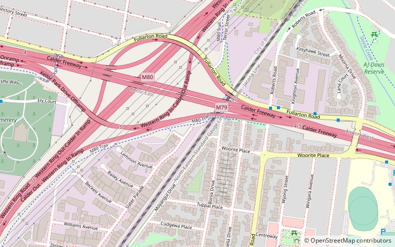
M80 Trail
The M80 Trail is a shared use path for cyclists and pedestrians that bridges the northern suburbs and follows the Western Ring Road/Metropolitan Ring Road freeway in Melbourne, Australia. It intercepts many other paths making possible a large variety of circuits for the recreational cyclist.
Upfield Bike Path
The Upfield Shared Path is a shared use path for cyclists and pedestrians, which follows Upfield railway line through the inner northern suburbs of Melbourne, Victoria, Australia. It stretches from Princes Park, through Brunswick and Coburg, to Box Forest Road, Fawkner, just south of Gowrie railway station.
Northern Pipe Trail
The Northern Pipe Trail, is a shared-use path for cyclists and pedestrians that follows Cheddar and St Georges roads in the northern suburbs of Reservoir, Preston and Thornbury in Melbourne, Victoria, Australia.
Moonee Ponds Creek Trail
The Moonee Ponds Creek Trail is a shared use path for cyclists and pedestrians, which follows the Moonee Ponds Creek through the northern suburbs of Melbourne, Victoria, Australia.
Ruffey Creek Trail
The Ruffey Creek Trail is a shared use path for cyclists and pedestrians, which follows Ruffey Creek in the inner eastern suburbs of Templestowe and Doncaster in Melbourne, Victoria, Australia. Platypus are known to live in the creek.
Koonung Creek Trail
The Koonung Creek Trail is a shared use path for cyclists and pedestrians, which follows Koonung Creek in the eastern suburbs of Melbourne, Victoria, Australia.
Gawler Chain Trail
The Gawler Chain Trail is a shared use path for cyclists and pedestrians in the inner eastern suburb of Mont Albert in Melbourne, Victoria, Australia. The trail has some short road sections and the western section is fairly rough.
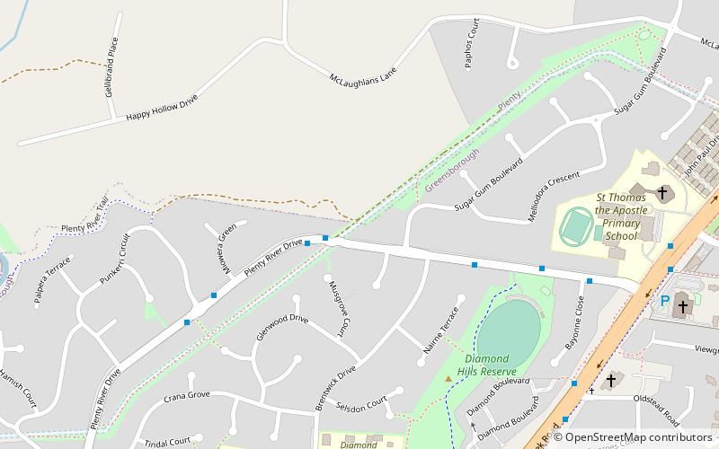
Plenty River Trail
The Plenty River Trail is a shared use path for cyclists and pedestrians, which follows the Plenty River through the suburbs of Greensborough and Lower Plenty in Melbourne, Victoria, Australia.
Laverton Creek Trail
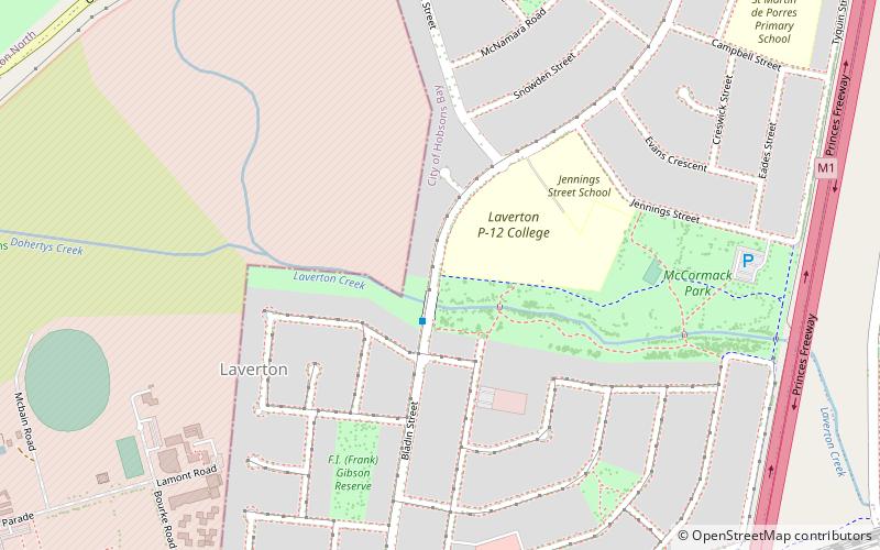
The Laverton Creek Trail is a shared use path for cyclists and pedestrians, which follows Laverton Creek in the outer western suburbs of Laverton and Altona in Melbourne, Victoria, Australia. The southern part of the trail is now suitable for roadbikes.
River Gum Walk Trail
The River Gum Walk Trail is a shared use path for cyclists and pedestrians in the suburb of Rosanna, an inner northern suburb of Melbourne, Victoria, Australia.
Ferndale Park Trail
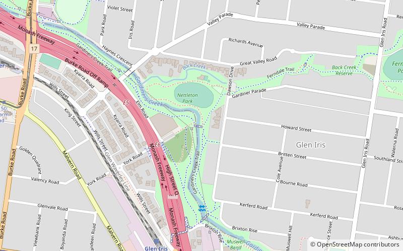
The Ferndale Park Trail is a shared use path for cyclists and pedestrians in the suburb of Glen Iris, an inner eastern suburb of Melbourne, Victoria. It's useful as it provides a shortcut between Gardiners Creek Trail and Anniversary Trail. These two paths converge 2.5 km...
Wurundjeri Walk Trail
The Wurundjeri Walk Trail is a shared use path for cyclists and pedestrians in the inner eastern suburbs of Blackburn South and Forest Hill in Melbourne, Victoria, Australia. The path is broken by many small road sections.
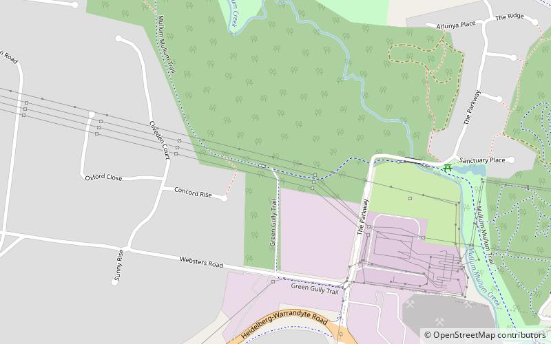
Greengully Trail
The Greengully Trail is a shared use path for cyclists and pedestrians in the inner eastern suburb of Templestowe in Melbourne, Victoria, Australia. There is a 400 m road section at the most northerly end of Blackburn Rd.
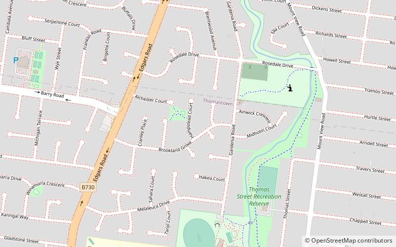
Edgars Creek Trail
The Edgars Creek Trail is a shared use path for cyclists and pedestrians in the suburb of Thomastown, an inner northern suburb of Melbourne, Victoria. It leads to the historic village of Westgarthtown.
Map

