Calgary: Neighbourhood
Places and attractions in the Neighbourhood category
Categories
- Park
- Museum
- Shopping
- Shopping centre
- Outdoor activities
- Golf
- Neighbourhood
- Sport
- Sport venue
- Tower
- Church
- Specialty museum
- Bridge
- Theater
- Skyscraper
- Music venue
- Military museum
- Concerts and shows
- Universities and schools
- Nightlife
- Ice rink
Calgary Centre
Calgary Centre is a federal electoral district in Alberta, Canada, that has been represented in the House of Commons of Canada since 1968. The riding consists of many young adults who have a relatively high average household income and education level.
Stephen Avenue
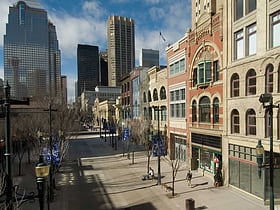
Stephen Avenue is a major pedestrian mall in downtown Calgary, Alberta, Canada. The mall is the portion of 8 Avenue SW between 4 Street SW and 1 Street SE. It is open to vehicles only from 6:00 p.m. to 6:00 a.m. The street is known for some of Calgary's finest restaurants, cafés, pubs and bars.
Downtown East Village
Downtown East Village more commonly known as simply East Village, is a mixed-use neighbourhood within the eastern portions of downtown Calgary, Alberta, Canada. It is contained within the city's Rivers District.
Downtown West End
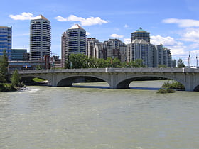
The Downtown West End is a neighbourhood within the western portions of downtown Calgary, Alberta, Canada. It is bounded to the north by the Bow River, to the east by 9th Street W, to the south by the CPR Tracks and to the west by 14th Street W.
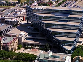
Downtown Calgary
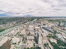
Downtown Calgary is a dense urban district in central Calgary, Alberta. It contains the second largest concentration of head offices in Canada, despite only being the country's fourth largest city in terms of population.
Bowness
Bowness is a neighbourhood and former town in west Calgary, Alberta, Canada. The former town was amalgamated into the City of Calgary in 1964. The neighbourhood is bordered by the Bow River to the north and east, 16 Avenue to the south, and Stoney Trail to the west.
Bridgeland
Bridgeland-Riverside, formerly known as Bridgeland and Germantown, is a neighbourhood in Calgary, Alberta, Canada, is located northeast of Downtown Calgary. It is bounded to the south by the Bow River, to the east by Deerfoot Trail, to the west by Edmonton Trail and to the north by the community of Renfrew.
Calgary-Elbow
Calgary-Elbow is a provincial electoral district for the Legislative Assembly of Alberta, Canada. Its current MLA is Doug Schweitzer, who won the seat in the 2019 provincial election.
Hillhurst
Hillhurst is a community located within the inner city of Calgary, Alberta, Canada. The boundaries of the community are 8th Avenue NW to the north, 10th Street NW to the east, the Bow River to the south, and 18th Street NW to the west.
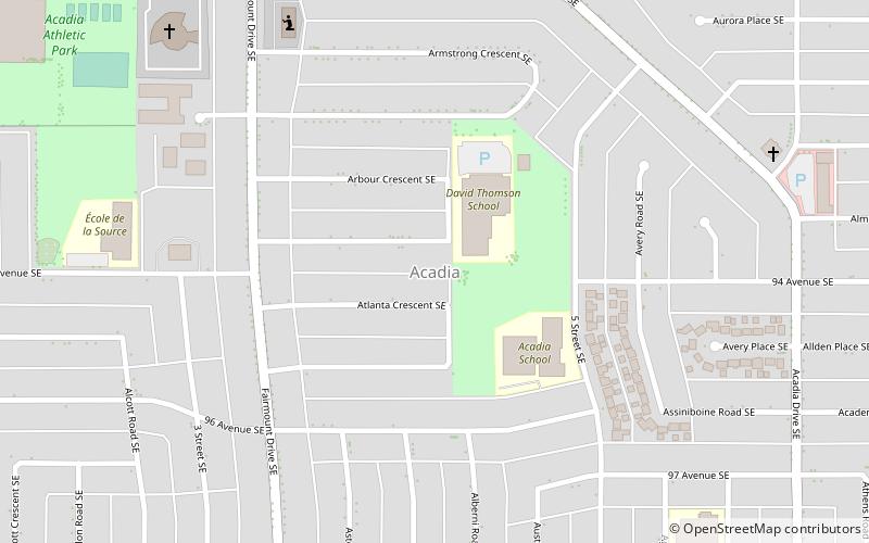
Acadia
Acadia is a neighbourhood in the southeast quadrant of Calgary, Alberta. The area is bounded on the west by Macleod Trail, on the east by the Bow River, on the north by Heritage Drive and on the south by Southland Drive.
Tuscany
Tuscany is a residential community in the northwest quadrant of Calgary, Alberta. It is located at the western edge of the city, and is bounded to the north by Crowchild Trail, to the east by Stoney Trail, Bearspaw Dam Road to the south and Twelve Mile Coulee Road and the...
Radisson Heights
Albert Park/Radisson Heights is a residential neighbourhood in the southeast quadrant of Calgary, Alberta. It is bounded to the west by the Bow River and Deerfoot Trail, to the north by Memorial Drive and to the south by 17 Avenue SE. The community of Forest Lawn lies to the east.
Aspen Woods
Aspen Woods is a residential neighbourhood in the southwest quadrant of Calgary, Alberta, consisting mostly of acreages and single-family detached homes.
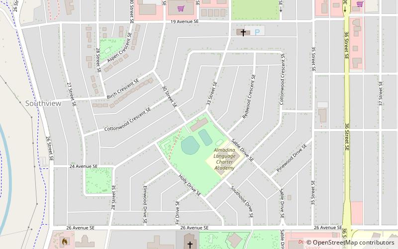
Southview
Southview is a residential neighbourhood in the southeast quadrant of Calgary, Alberta. It is bounded by 17 Avenue SE to the north, 36 Street SE to the east, 26 Avenue SE to the south and the Bow River to the west.
Cliff Bungalow
Cliff Bungalow is an inner city residential neighbourhood in the southwest quadrant of Calgary, Alberta. Centered along 5 Street SW, it is bordered by Elbow River to the south, by Uptown 17th Avenue to the north and by Fourth Street to the east.
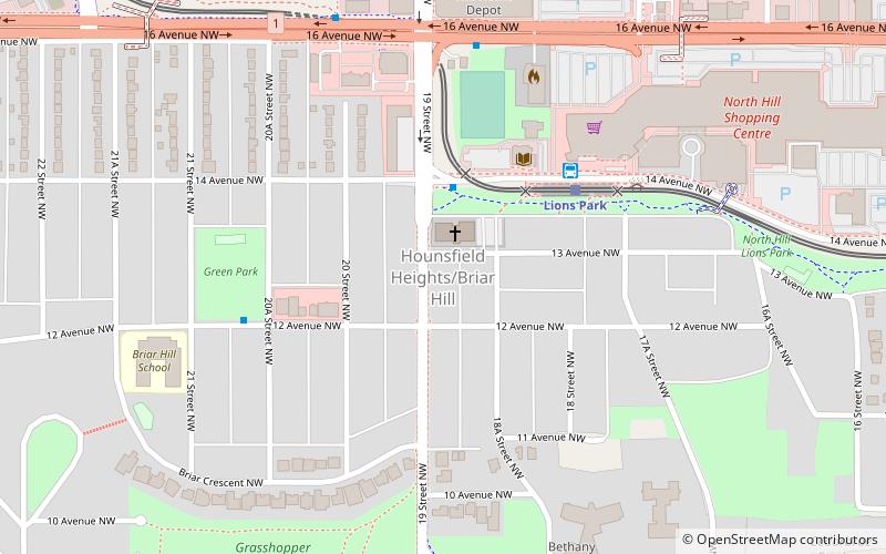
Hounsfield Heights/Briar Hill
Hounsfield Heights/Briar Hill is an inner suburban neighbourhood in northwest Calgary, Alberta, Canada.
St. Andrews Heights
St. Andrews Heights is a residential neighbourhood in the northwest quadrant of Calgary, Alberta. It is bounded to the north by the Trans-Canada Highway, to the east by Crowchild Trail, to the south by Toronto Crescent, and to the west by 29 Street.
Erlton
Erlton is an inner city residential neighbourhood in the southwest quadrant of Calgary, Alberta. It is bounded by the Elbow River to the north and west, by Spiller Road to the east and by Mission Road to the south.
Arbour Lake
Arbour Lake is a residential neighbourhood in the northwest quadrant of Calgary, Alberta. It is bounded to the north by Country Hills Boulevard, to the south by Crowchild Trail, to the east by Nose Hill Drive, to the west by Stoney Trail.
Red Carpet
Red Carpet is a community in the southeast quadrant of Calgary, Alberta. It is located at the eastern edge of the city, between the CN tracks, 17 Avenue SE and 68 Street SE.
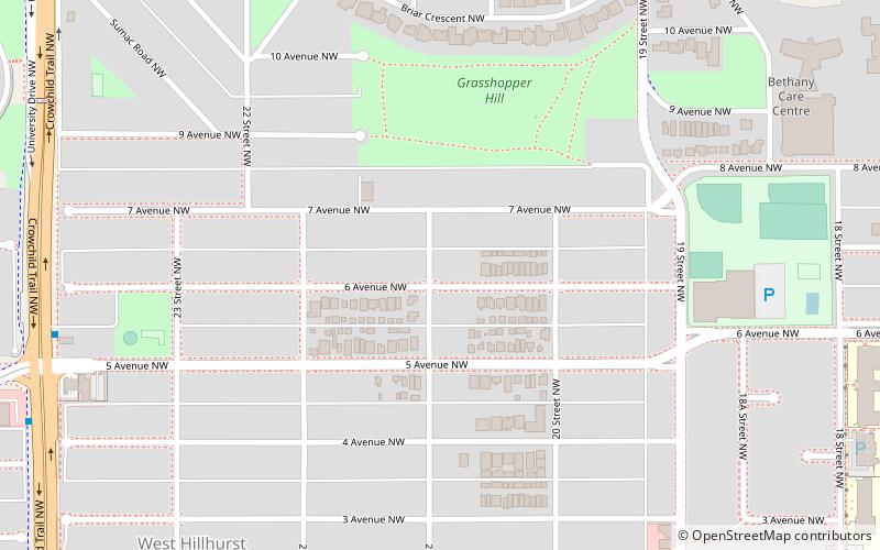
West Hillhurst
West Hillhurst is a northwest neighbourhood lying within the inner suburbs of Calgary, Alberta, Canada. The community, which is located west of Hillhurst, is bisected by Crowchild Trail.
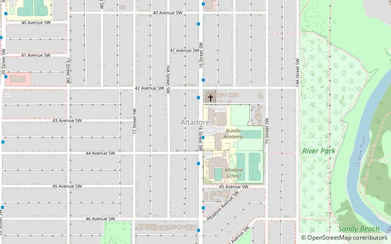
Altadore
Altadore is a residential neighbourhood in the inner-city portion of the southwest quadrant of Calgary, Alberta. It is bounded by 33rd Ave SW and the neighbourhood of South Calgary in the north, River Park and 14 St SW in the east, the Garrison Woods neighbourhood and Crowchild Trail SW in the west, and 50th Ave SW in the south.
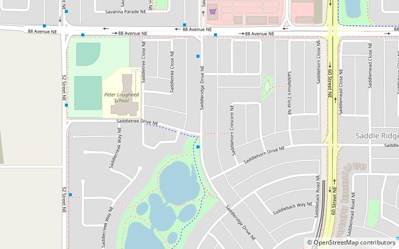
Saddle Ridge
Saddle Ridge is a residential neighbourhood in the northeast quadrant of Calgary, Alberta. It is located at the northeastern edge of the city, and it is bounded to the north by Airport Trail NE, to the east by Stoney Trail NE, to the south by 80 Avenue NE and to the west by Métis Trail.
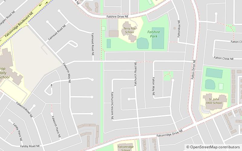
Falconridge
Falconridge is a residential neighbourhood in the northeast quadrant of Calgary, Alberta. It is bounded by Falconridge Boulevard and 44 Street E to the west, 64 Avenue N to the north, 68 Street E to the east and McKnight Boulevard to the south.
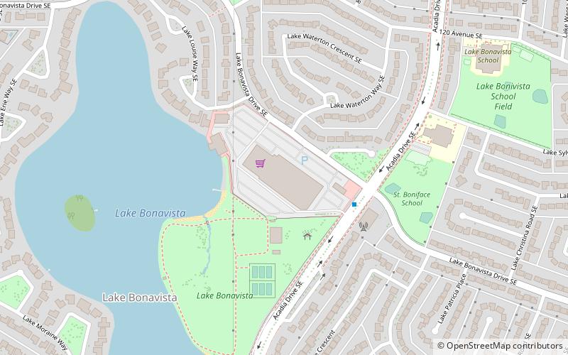
Lake Bonavista
Lake Bonavista is a neighbourhood in Southeast Calgary, Alberta, Canada. It is bounded by Anderson Road to the north, Macleod Trail to the west, Canyon Meadows Drive to the south, and Bow Bottom Trail to the east.
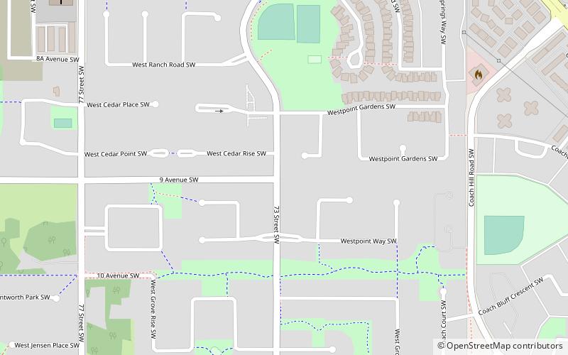
West Springs
West Springs is a residential neighbourhood in the southwest quadrant of Calgary, Alberta. It is located at the western edge of the city, and is bordered to the west by the acreages and estate homes of Springbank.
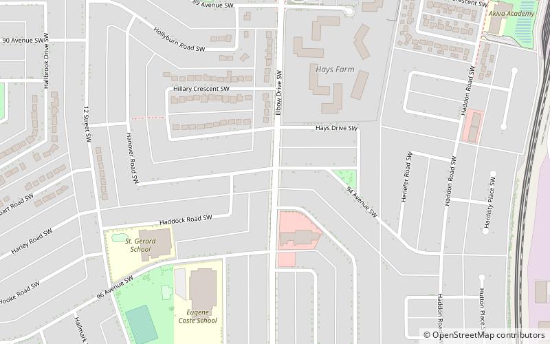
Haysboro
Haysboro is a residential neighbourhood in the southwest quadrant of Calgary, Alberta. It is bounded by Heritage Drive to the north, Macleod Trail to the east, 98th Avenue to the south and 14 Street W and the Glenmore Reservoir to the west.
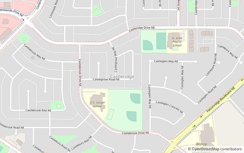
Castleridge
Castleridge is a residential neighbourhood in the northeast quadrant of Calgary, Alberta. It is located east of the Calgary International Airport and is bounded by 64 Avenue NE to the north, Métis Trail to the west, McKnight Boulevard to the south and Falconridge Boulevard to the east.
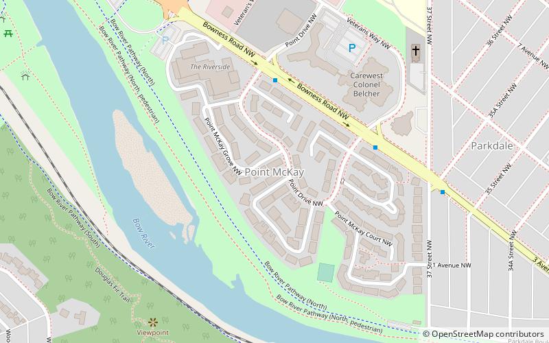
Point Mckay
Point Mckay is a residential neighbourhood in the northwest quadrant of Calgary, Alberta. It is bounded to the north by Bowness Road and to the south by the Bow River. Edworthy Park is located across the river, and is connected by a bridge to Point Mckay.
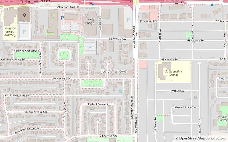
Kelvin Grove
Kelvin Grove is a residential neighbourhood in the southwest quadrant of Calgary, Alberta. It is bounded to the north by Glenmore Trail, to the east by Elbow Drive, to the south by 75 Avenue S and to the west by 14 Street W.
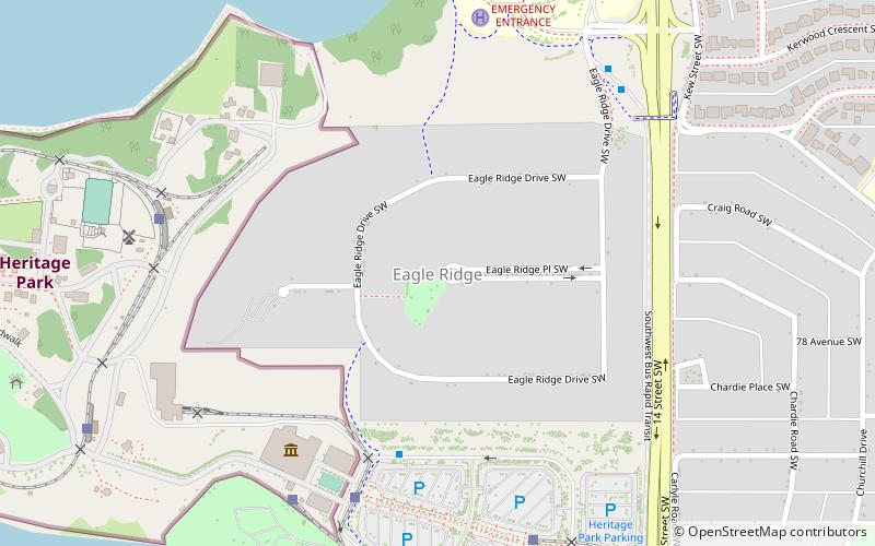
Eagle Ridge
Eagle Ridge is an affluent residential neighbourhood situated on a peninsula in the Glenmore Reservoir in the southwest quadrant of Calgary, Alberta, Canada.
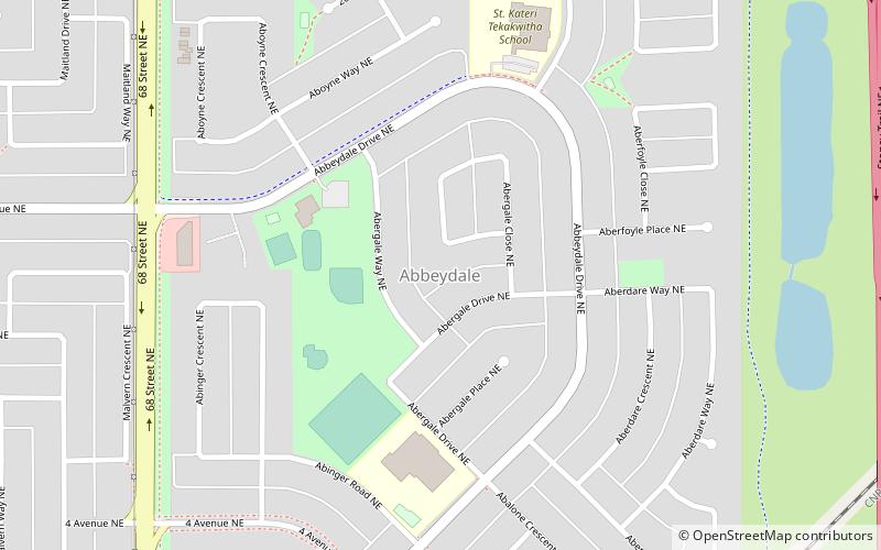
Abbeydale
Abbeydale is a neighbourhood in the northeast quadrant of Calgary, Alberta. It is bordered to the north by Trans-Canada Highway, to the east by Stoney Trail, to the south by Canadian National Railway tracks and to the west by 68 Street E.
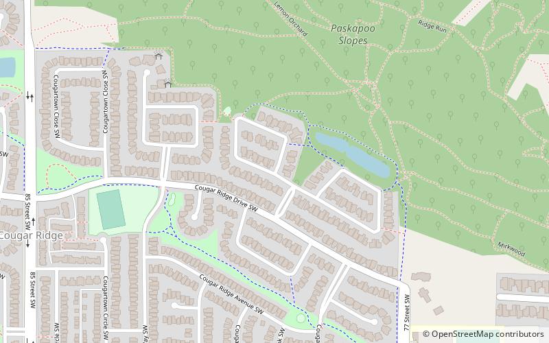
Cougar Ridge
Cougar Ridge is a residential neighbourhood in the southwest quadrant of Calgary, Alberta. It is located at the western edge of the city and is bounded by Paskapoo Slopes and Canada Olympic Park to the north, 69 Street W to the east, 101 Street W to the west and Old Banff Coach Road to the south.
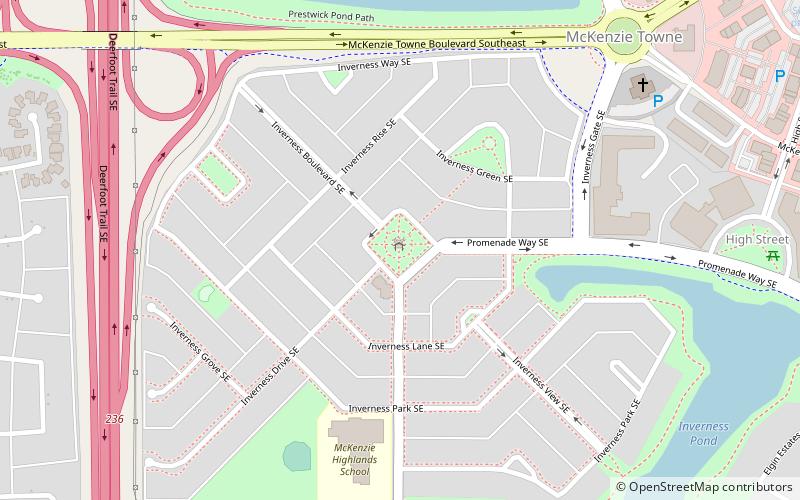
McKenzie Towne
McKenzie Towne is a master planned residential neighbourhood in the southeast of Calgary, Alberta being developed by Carma Developers LP. The community is bordered on the west by Deerfoot Trail, on the south by Stoney Trail, on the east by 52 St. S.E. and to the north by the South Trail regional commercial centre along 130 Ave. S.E.
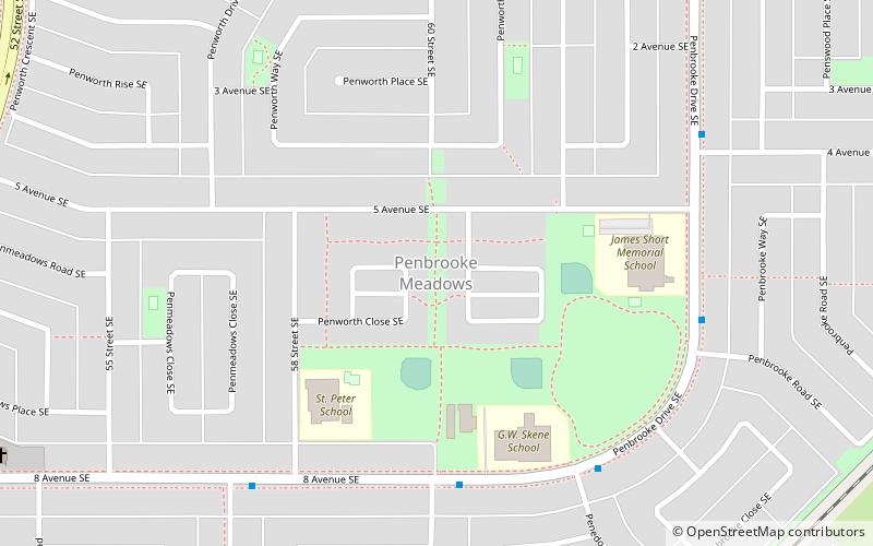
Penbrooke Meadows
Penbrooke Meadows is a residential neighbourhood in the southeast quadrant of Calgary, Alberta. It is bounded by Memorial Drive to the north, 68 Street E to the east, 52 Street E to the west and 17 Avenue SE to the south and is part of the International Avenue Business Revitalization Zone.
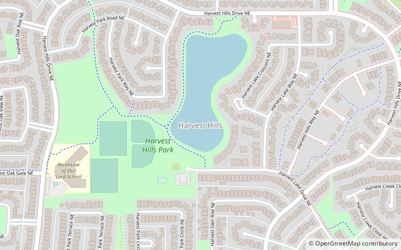
Harvest Hills
Harvest Hills is a residential neighbourhood in the northeast quadrant of Calgary, Alberta. It is bounded by Deerfoot Trail to the east, by Beddington Trail to the south, by Country Hills Boulevard to the north and by Harvest Hills Boulevard to the west.
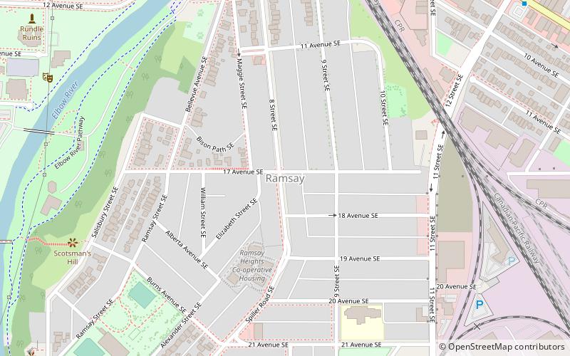
Ramsay
Ramsay is a residential neighbourhood in the southeast quadrant of Calgary, Alberta. It is an inner city community, located east of the Elbow River, Macleod Trail, Stampede Grounds and the Scotiabank Saddledome arena and south of Inglewood.
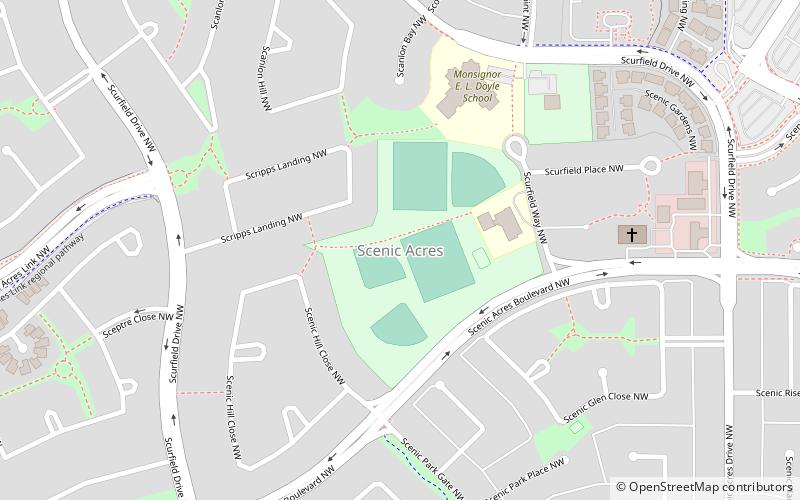
Scenic Acres
Scenic Acres is a residential neighbourhood in the northwest quadrant of Calgary, Alberta. It is bounded to the north by Crowchild Trail, to the east by Nose Hill Drive, to the west by Stoney Trail and to the south by Nose Hill Drive.
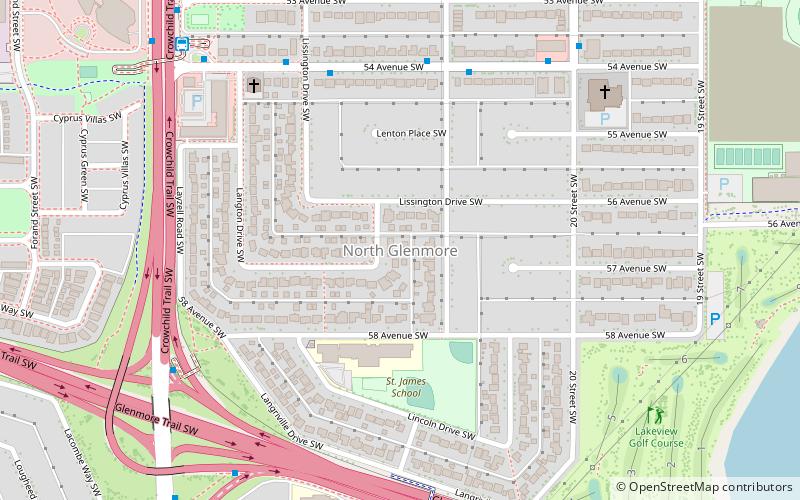
North Glenmore
North Glenmore Park is a residential neighbourhood in the southwest quadrant of Calgary, Alberta. It is bounded by 50 Avenue SW to the north, Glenmore Athletic Park, Lakeview Golf Course and Earl Grey Golf Club to the east, Earl Grey Golf Club to the south and Crowchild Trail SW to the west.
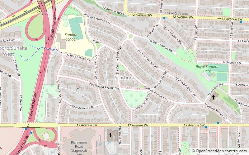
Scarboro
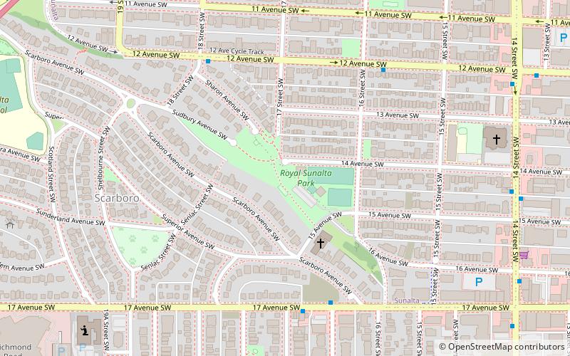
Scarboro is a residential neighbourhood in the southwest quadrant of Calgary, Alberta. It is located in the inner city, between Bow Trail, 24th Street West and 14th St West. Its north-south boundaries are 12th Avenue South and 17th Avenue South. The community is bisected by the Crowchild Trail freeway.
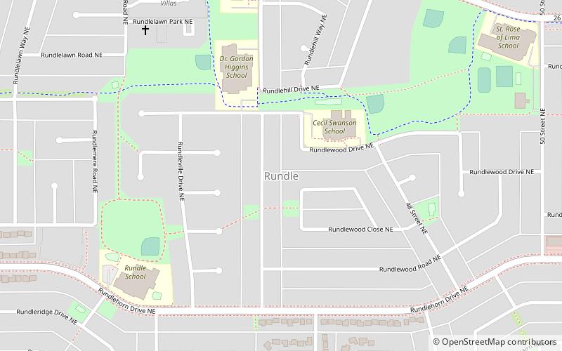
Rundle
Rundle is a residential neighbourhood in the northeast quadrant of Calgary, Alberta. It is bounded by 32 Avenue NE to the north, 16 Avenue NE to the south, 52 Street NE to the east and 36 Street NE to the west.
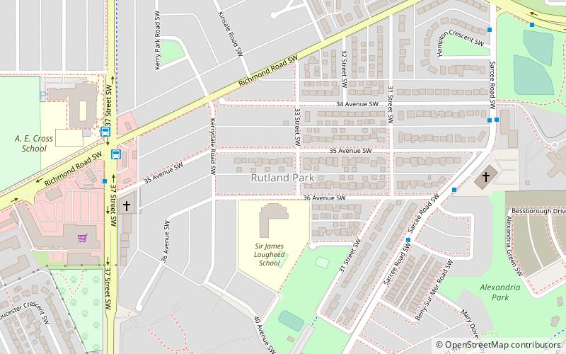
Rutland Park
Rutland Park is an inner city residential neighbourhood in the southwest quadrant of Calgary, Alberta. It is bounded to the north by Richmond Road and 33 Avenue, to the east by Crowchild Trail, to the south by Glenmore Trail and to the west by 37 Street W.
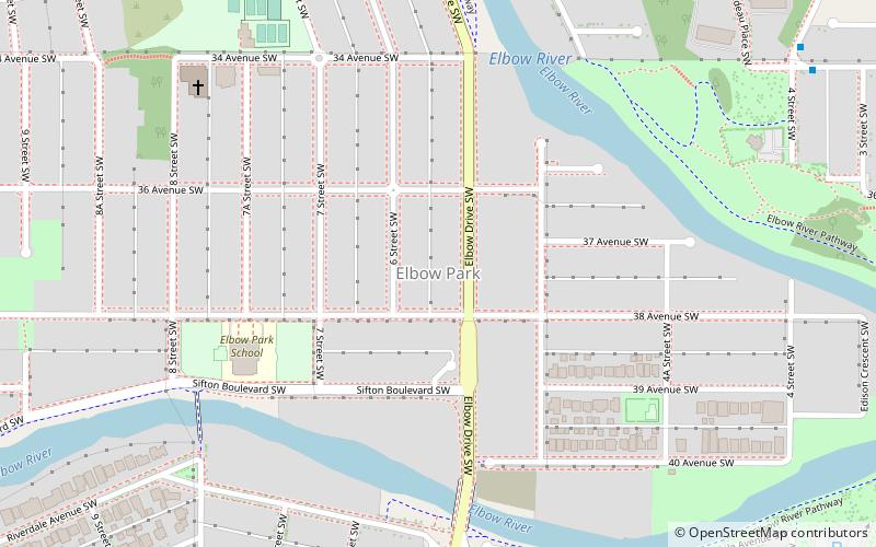
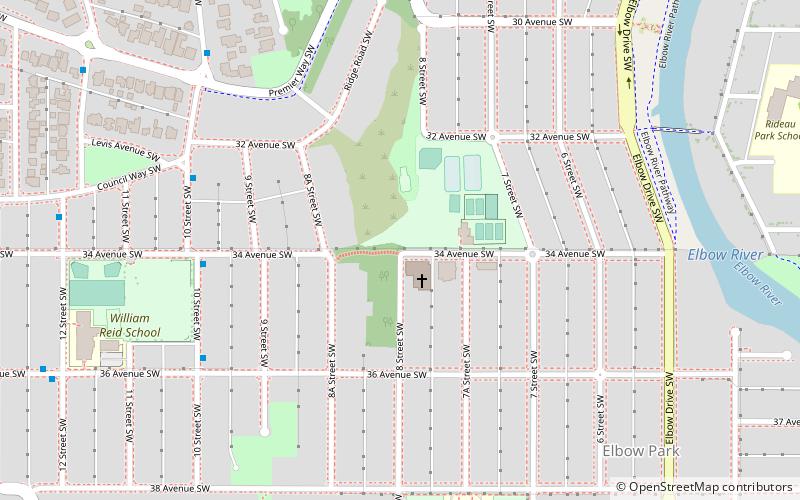
Elbow Park
Elbow Park is an affluent residential neighbourhood in the southwest quadrant of Calgary, Alberta. It is one of the oldest and wealthiest communities in the city.
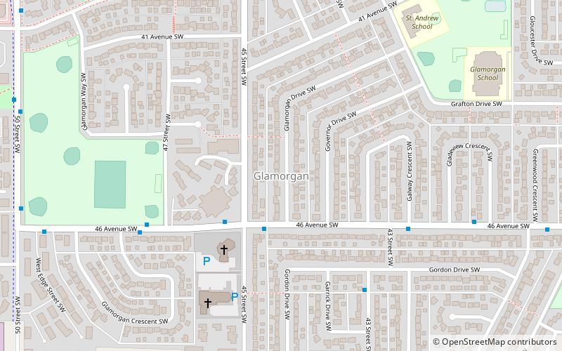
Glamorgan
Glamorgan is a residential neighbourhood in the southwest quadrant of Calgary, Alberta. It is bounded by Richmond Road to the north, by 37 Street W to the east, Glenmore Trail to the south and Sarcee Trail to the west. Glamorgan was established in 1958.
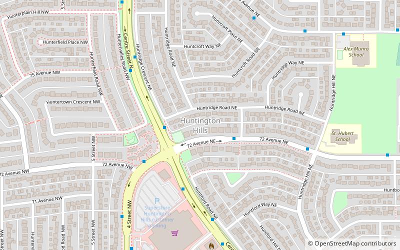
Huntington Hills
Huntington Hills is a residential neighbourhood in the northwest and northeast quadrant of Calgary, Alberta. It is bounded to the north by Beddington Boulevard, to the east by Deerfoot Trail and the Nose Creek, to the south by 64 Avenue N and to the west by the Nose Hill Park and 14 Street W.
Map

