Winnipeg: Neighbourhood
Places and attractions in the Neighbourhood category
Categories
- Museum
- Park
- History museum
- Shopping centre
- Shopping
- Specialty museum
- Sport
- Sport venue
- Concerts and shows
- Theater
- Church
- Bridge
- Neighbourhood
- Historical place
- Skyscraper
- Golf
- Art museum
- Art gallery
- Library
- Cemetery
- Natural history museum
- Event space
- Square
- Arenas and stadiums
- Street
- Football
- Ice rink
- Ice skating
Osborne Village
Osborne Village is a neighbourhood of Winnipeg, Manitoba. The area is bordered by the Assiniboine River on the north and west, Harkness Station on the east, and the Osborne Underpass on the south.
Exchange District
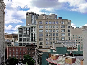
The Exchange District is a National Historic Site of Canada in the downtown area of Winnipeg, Manitoba, Canada.
St. Vital
St. Vital is a ward and neighbourhood of Winnipeg, Manitoba, Canada. Located in the south-central part of the city, it is bounded on the north by Carrière Avenue; on the south by the northern limit of the Rural Municipality of Ritchot; on the west by the Red River; and on the...
The Forks
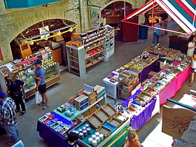
The Forks is a historic site, meeting place, and green space in downtown Winnipeg located at the confluence of the Red River and the Assiniboine River. The Forks was designated a National Historic Site of Canada in 1974 due to its status as a cultural landscape that had borne witness to six thousand years of human activity.
Downtown Winnipeg
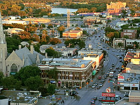
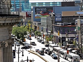
Downtown Winnipeg is an area of Winnipeg located near the confluence of the Red and Assiniboine rivers. It is the oldest urban area in Winnipeg, and is home to the city's commercial core, city hall, the seat of Manitoba's provincial government, and a number of major attractions and institutions.
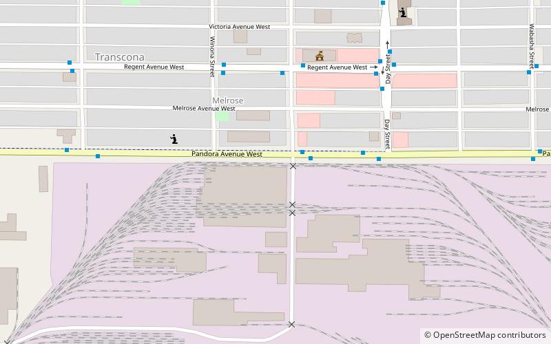
Transcona
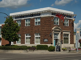
Transcona is a ward and suburb of Winnipeg, Manitoba, located about 10 kilometres east of the downtown area. Until 1972, it was a separate municipality, having been incorporated first as the Town of Transcona on 6 April 1912 and then as the City of Transcona in 1961.
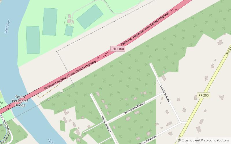
St. Norbert
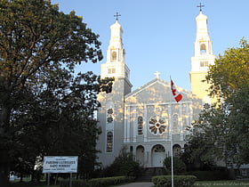
St. Norbert is a bilingual neighbourhood and the southernmost suburb of Winnipeg, Manitoba, Canada. While outside the Perimeter Highway, it is still part of the city. As of the 2016 Census, the population of St. Norbert is 5,850. The community is home to the St.
Kirkfield Park
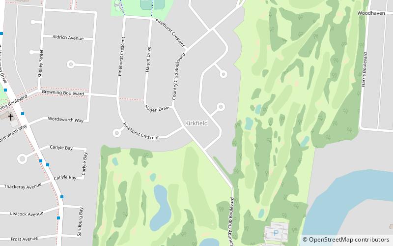
Kirkfield Park is a provincial electoral division in the Canadian province of Manitoba. It was created by redistribution in 1979, and has formally existed since the provincial election of 1981.
Armstrong's Point
Armstrong's Point is a neighbourhood in Winnipeg, Manitoba. It is located in the West End of the city and in a large bend in the Assiniboine River. The land was developed in the late 19th and early 20th centuries as a residential district.
Linden Woods
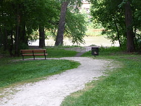
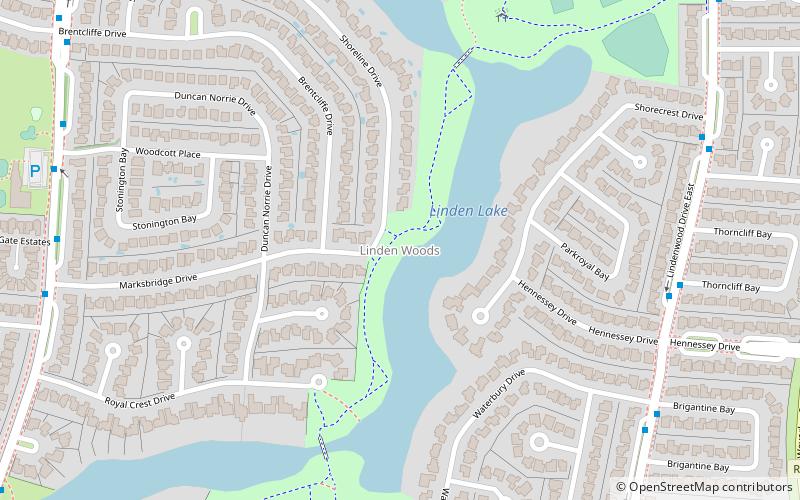
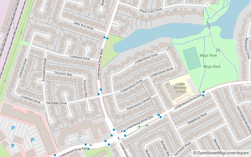
Linden Woods is a neighbourhood in the Fort Garry area of southwest Winnipeg, Manitoba, Canada. The first phase of the neighbourhood was designed by IDE in 1980 and the construction of houses began in 1982. The centrepiece of the neighbourhood is a lake that adjoins Van Walleghem and Muys Parks.
North Point Douglas
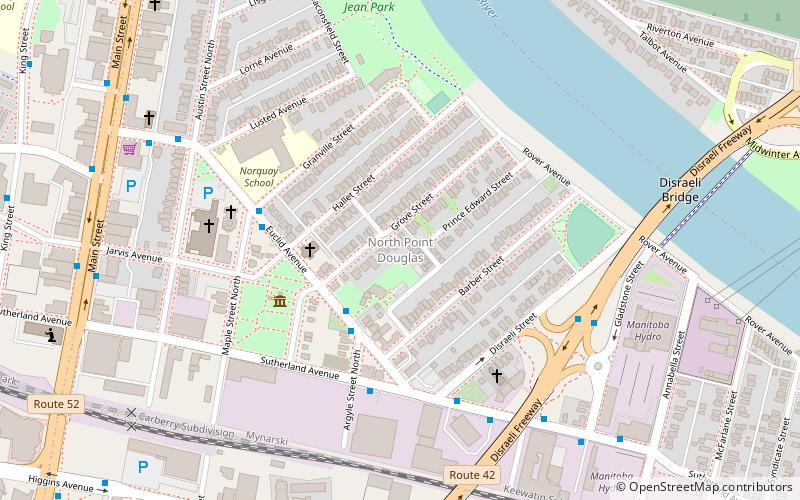
North Point Douglas is a small neighbourhood located in the city of Winnipeg, Manitoba, Canada. North Point Douglas comprises the northern portion of a peninsula of the Red River.
Wellington Crescent
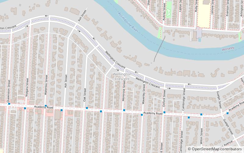
Wellington Crescent is an affluent neighbourhood in Winnipeg, Manitoba, Canada. It is known for its stately homes and for a small commercial area along Academy Road.
Varsity View
Varsity View is one of the original neighbourhoods of the Charleswood community in Winnipeg, Manitoba, Canada, and also a part of the Assiniboine South neighbourhood cluster.
Roblin Park
Roblin Park is one of the original neighbourhoods of the Charleswood community in Winnipeg, Manitoba, Canada. It is served by the Roblin Park Community Centre.
Waverley West
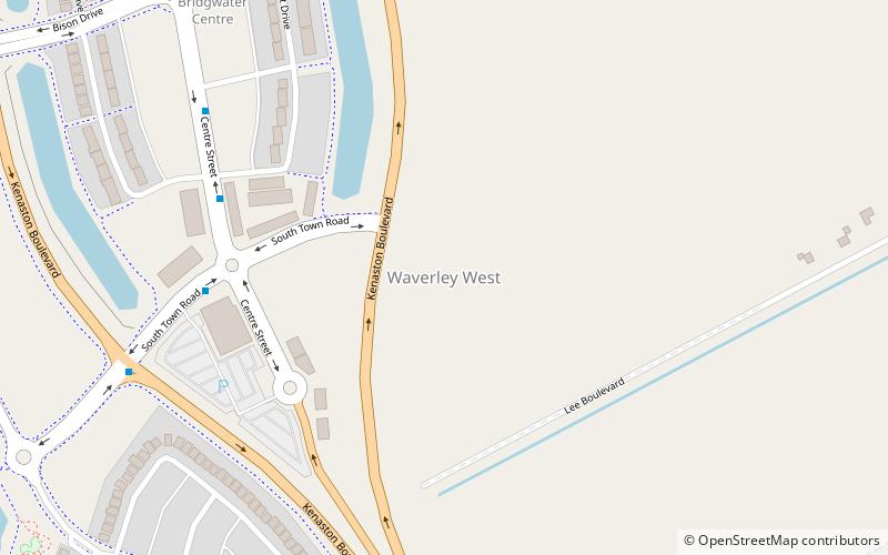
Waverley West is a city ward and suburb in southwest Winnipeg, Manitoba. The area was approved by the Government of Manitoba in 2005, and is scheduled to be constructed over a 20-year period.
St. James-Assiniboia
St. James-Assiniboia is a major community area in Winnipeg, Manitoba. As it encapsulates most of the city ward of St. James, which includes the major St. James Street, the area itself is often simply referred to "St...
Winnipeg North
Winnipeg North is a federal electoral district in Canada that has been represented in the House of Commons of Canada since 1917. It covers the northern portion of Winnipeg, Manitoba.
Rossmere
Rossmere is a provincial electoral division in the Canadian province of Manitoba. It was created by redistribution in 1968, and has formally existed since the provincial election of 1969.
St. Vital
St. Vital is a provincial electoral division in the Canadian province of Manitoba.
Fort Whyte
Fort Whyte is a provincial electoral division in the Canadian province of Manitoba. It was created in 1999, after the provincial electoral boundaries commission determined that southwestern Winnipeg had experienced enough population growth to deserve an extra seat.
Transcona
Transcona is a provincial electoral division in the Canadian province of Manitoba. The riding was created by redistribution in 1968, and has formally existed since the 1969 provincial election.
Winnipeg South
Winnipeg South is a Canadian federal electoral district in Manitoba, Canada, that has been represented in the House of Commons of Canada from 1917 to 1979, and since 1988. It covers the southernmost part of the city of Winnipeg.
Radisson
Radisson is a provincial electoral division in the Canadian province of Manitoba. It was created by redistribution in 1957, and has formally existed since the 1958 provincial election.
River East
River East is a provincial electoral division in the Canadian province of Manitoba. It was officially created by redistribution in 1979, and has formally existed since the provincial election of 1981.
Burrows
Burrows is a provincial electoral division in the Canadian province of Manitoba. It was created by redistribution in 1957 from part of Winnipeg North, and formally came into existence in the provincial election of 1958.
Winnipeg South Centre
Winnipeg South Centre is a federal electoral district in Manitoba, Canada, that has been represented in the House of Commons of Canada from 1925 to 1979 and since 1988.
Riel
Riel is a provincial electoral division or riding in the Canadian province of Manitoba. It was created by redistribution in 1968, and has formally existed since the provincial election of 1969.
Saint Boniface—Saint Vital
Saint Boniface—Saint Vital is a federal electoral district in Winnipeg, Manitoba that has been represented in the House of Commons of Canada since 1925. The district covers roughly the southern portion of the city of Winnipeg, east of the Red River.
Elmwood—Transcona
Elmwood—Transcona is a federal electoral district in Manitoba, Canada, that has been represented in the House of Commons of Canada since 1988. Its population in 2011 was 85,906.
Kildonan—St. Paul
Kildonan—St. Paul is a federal electoral district in the Winnipeg Capital Region of Manitoba, Canada. It has been represented in the House of Commons of Canada since 2004.
Winnipeg Centre
Winnipeg Centre is a federal electoral district in Manitoba, Canada, that has been represented in the House of Commons of Canada from 1917 to 1925 and since 1997.
Charleswood
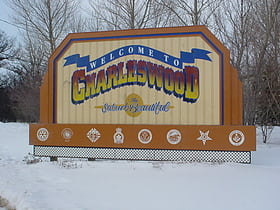
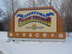
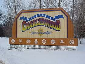
Charleswood is a semi-rural residential community and neighbourhood in the southwest corner of Winnipeg, Manitoba, Canada. Since at least the 1930s, Charleswood has been known as "The Suburb Beautiful." It composes part of the city ward of Charleswood - Tuxedo - Westwood; and is part of the provincial electoral district of Roblin.
Fort Richmond
Fort Richmond is a provincial electoral division in the Canadian province of Manitoba. It was created by redistribution in 2008, out of parts of St. Norbert and Fort Garry.
Crescentwood
Crescentwood is a neighbourhood in the River Heights area of Winnipeg, Manitoba. It is bordered on the north on Academy Road, on the east by the Assiniboine River, on the south by Corydon Avenue, and on the west by Cambridge Street.
West Kildonan
West Kildonan is a residential suburb within the Old Kildonan and Mynarski city wards of Winnipeg, Manitoba, lying on the west side of the Red River, and immediately north of the old City of Winnipeg in the north-central part of the city.
Old Kildonan
Old Kildonan is the northernmost city ward of Winnipeg, Manitoba. Before the City of Winnipeg Act of 1972, it was an independent unincorporated municipality called the Municipality of Old Kildonan; prior to that, from 1914, it was a subdivision of the Rural Municipality of Kildonan.
Island Lakes
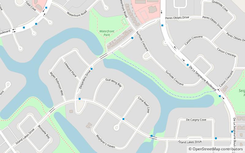
Island Lakes is a neighbourhood of Winnipeg, Manitoba, Canada, located in the ward of St. Boniface at the southeast corner of the city. Developed by Novamet Development Corporation, the neighbourhood is set up in a curvilinear style typical of new suburbs.
Waverley Heights
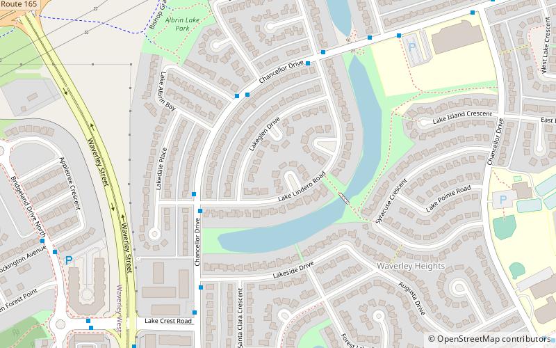
Waverley Heights is a neighbourhood in the Waverley West ward of Winnipeg, Manitoba, Canada. It is bordered on the north by Bishop Grandin Boulevard, on the west by Waverley Street, on the south by Bison Drive, and on the east by Pembina Highway. Waverley Heights occupies approximately 2.0 square kilometres.
Centennial
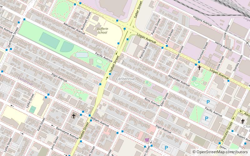
Centennial is an inner-city neighbourhood located Winnipeg, Manitoba, Canada, in the Downtown East Neighbourhood Cluster. The boundaries of Centennial are Sherbrook Street on the west, Logan Avenue on the north, William Avenue on the south and Stanley, Paulin and Adelaide streets on the east.
Whyte Ridge
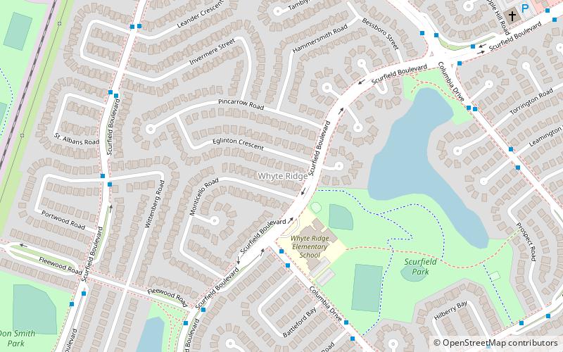
Whyte Ridge is a residential area in the Waverley West ward in the southwest corner of Winnipeg, Manitoba, Canada. The subdivision was built on former farmland, just south of a small townsite that was historically known as Fort Whyte. The first homes in the subdivision were constructed in 1986.
Wildwood Park
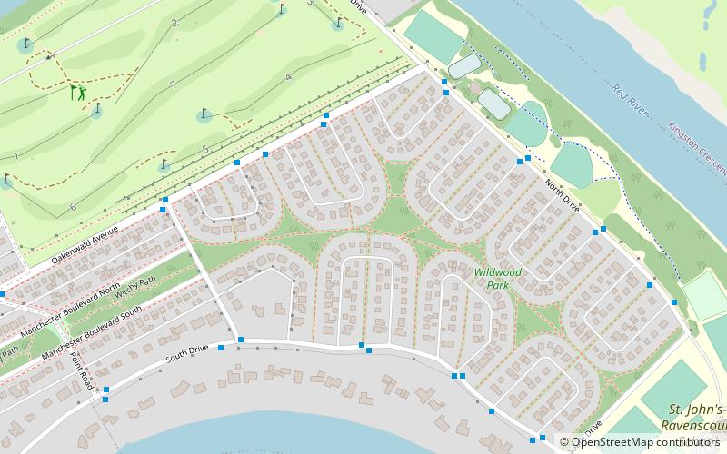
Wildwood Park is a suburban, planned community in Winnipeg that has a central green space and no front roads, with communal walkways, playgrounds, and parks. Nearly all of the original houses are based on five variations of three basic designs, pre-fabricated in one section of the site.
Tuxedo
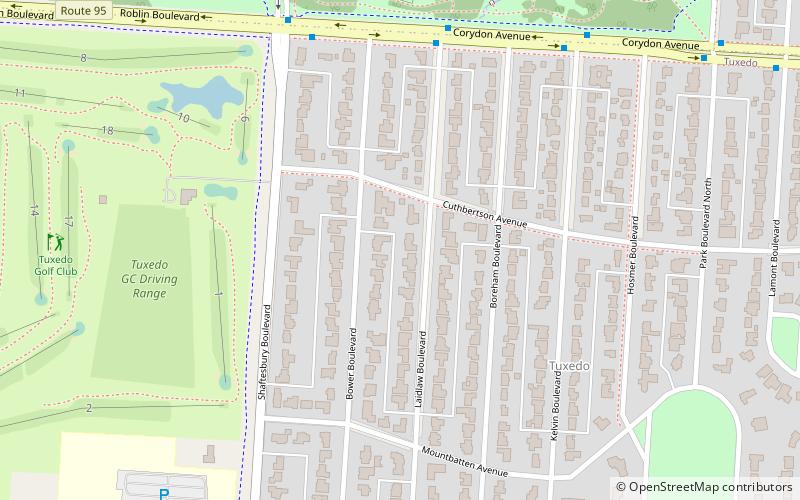
Tuxedo is a provincial electoral division in the Canadian province of Manitoba. It was created by redistribution in 1979, and has formally existed since the provincial election of 1981.
Map

