Edinburgh: Neighbourhood
Places and attractions in the Neighbourhood category
Categories
- Church
- Museum
- Shopping
- Historical place
- Park
- History museum
- Street
- Memorial
- Concerts and shows
- Art gallery
- Bridge
- Nightlife
- Art museum
- Forts and castles
- Theater
- Reportedly haunted
- Sport
- Sport venue
- Specialty museum
- Cemetery
- Shopping centre
- Gothic Revival architecture
- Architecture
- Neighbourhood
- Sacred and religious sites
- Golf
- Library
- Monuments and statues
- Square
- Natural attraction
- Entertainment
- Shopping district
- Vernacular architecture
- Outdoor activities
- Military museum
- Bars and clubs
- Science museum
- Modern art museum
- Arenas and stadiums
- Nature
- Lake
- Area
- Cinema
- Event space
- Archaeological site
- Universities and schools
- Village
Abbeyhill
Abbeyhill is an area of Edinburgh, the capital of Scotland. Abbeyhill is one of the oldest parts of the city, taking its name from Holyrood Abbey, a major historic religious site. The main east-west thoroughfare through the area is London Road, laid in the 1820s as part of the Calton development of the New Town.
Marchmont
Marchmont is a mainly residential area of Edinburgh, Scotland. It lies roughly one mile to the south of the Old Town, separated from it by The Meadows and Bruntsfield Links.
Holy Corner
Holy Corner is a colloquial name for a small area of Edinburgh, Scotland, and is part of the area more properly known as Burghmuirhead, itself part of the lands of Greenhill. Holy Corner lies between the areas of Bruntsfield and Morningside.
New Town
The New Town is a central area of Edinburgh, the capital of Scotland. It was built in stages between 1767 and around 1850, and retains much of its original neo-classical and Georgian period architecture.
Sciennes
Sciennes is a district of Edinburgh, Scotland, situated approximately 2 kilometres south of the city centre. It is a mainly residential district, although it is also well-known as the site of the former Royal Hospital for Sick Children. Most of its housing stock consists of terraces of four-storey Victorian tenements.
Pilrig
Pilrig is an area of Edinburgh, the capital of Scotland. The name probably derives from the long field on which a peel tower stood. There is evidence of a peel tower situated on an area of higher ground above the Water of Leith. Pilrig lies midway between Leith and Edinburgh, west of Leith Walk.
West End
The West End - sometimes more formally called the West End of New Town or West End Village - is an affluent district of Edinburgh, Scotland, which along with the New Town and Old Town forms central Edinburgh, and Edinburgh's UNESCO World Heritage Site.
Corstorphine
Corstorphine is a village and parish to the west of Edinburgh, now considered a suburb of that city and formally incorporated into it in 1920.
Craigleith
Craigleith is an area of west Edinburgh, Scotland. Its name comes from various forms of Craig of Inverleith, or rock or hill of Inverleith. The area lies between Ravelston Dykes, to Crewe Toll and the Ferry Road, and Comely Bank on the east. Queensferry Road and Craigleith Road both pass through here.
Silverknowes
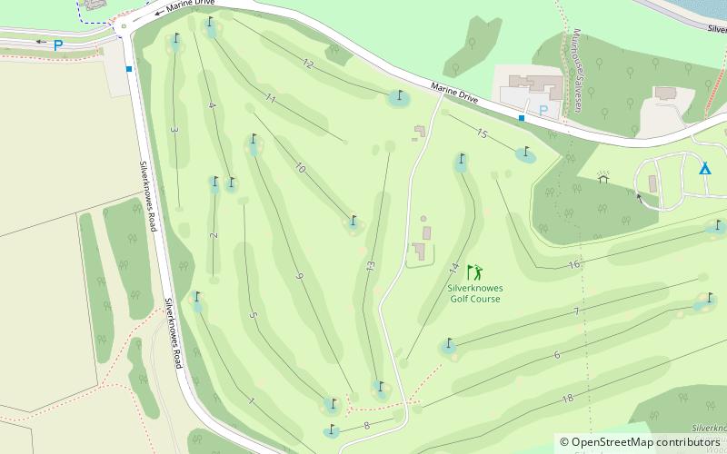
Silverknowes is a district of Edinburgh, Scotland. Silverknowes lies to the northwest of the city. The district contains over 2000 homes, ranging in size from bungalow to semi-detached housing, much of it built during the mid-twentieth century.
Canonmills
Canonmills is a district of Edinburgh, the capital of Scotland. It lies to the south east of the Royal Botanic Garden at Inverleith, east of Stockbridge and west of Bellevue, in a low hollow north of Edinburgh's New Town.
Stockbridge
Stockbridge is a suburb of Edinburgh, located north of the city centre, bounded by the New Town and by Comely Bank. The name is Scots stock brig from Anglic stocc brycg, meaning a timber bridge.
Warriston
Warriston is a suburb of Edinburgh, the capital of Scotland. It lies east of the Royal Botanic Garden in Inverleith. The name derives from Warriston House, a local mansion house demolished in 1966.
Blackhall
Blackhall is a suburb in the north west of the Scottish capital city Edinburgh. It is a mainly residential area with amenities including a library and a small number of shops.
Slateford
Slateford is an area of Edinburgh, the capital of Scotland. It is east of the Water of Leith. The former village of Slateford lies on the Lanark Road where it crosses the Water of Leith, 1⁄4 mile south west of Slateford Station.
Drumbrae
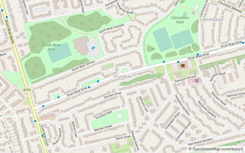
Drumbrae or Drum Brae is the name of a suburb of west Edinburgh, Scotland generally considered to be part of the neighbouring larger areas of Corstorphine and Clermiston. This is a commuter settlement as many people who live in the area travel to the centre of town to attend work.
Moray Estate
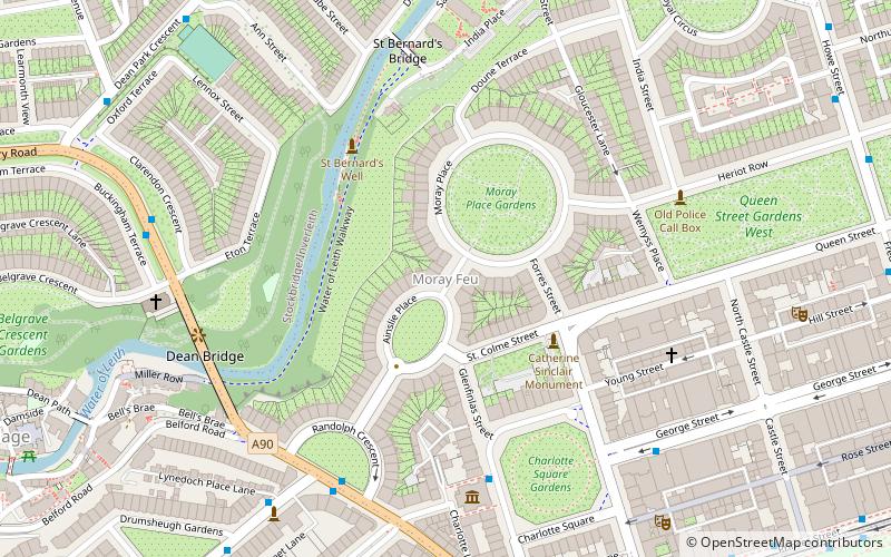
The Moray Estate in Edinburgh was an exclusive early 19th century building venture attaching the west side of Edinburgh's New Town. Built on an awkward and steeply sloping site, it is a masterpiece of urban planning. With generous plots accommodating huge townhouses it has accommodated the rich and famous from its outset.
Craiglockhart
Craiglockhart is a suburb in the south west of Edinburgh, Scotland, lying between Colinton to the south, Morningside to the east Merchiston to the north east, and Longstone and Kingsknowe to the west. The Water of Leith is also to the west.
Holyrood
Holyrood is an area in Edinburgh, the capital of Scotland, lying east of the city centre, at the foot of the Royal Mile. The area originally took its name from Holyrood Abbey, which was the Church of the Holy Rude. Holyrood includes the following sites: The modern Scottish Parliament Building.
Craigmillar
Craigmillar, from the Gaelic Creag Maol Ard, meaning 'High Bare Rock', is an area of Edinburgh, Scotland, about 3 miles south east of the city centre, with Duddingston to the north and Newcraighall to the east.
Comely Bank
Comely Bank is an area of Edinburgh, the capital of Scotland. It lies southwest of Royal Botanic Garden and is situated between Stockbridge and Craigleith.
Drylaw
Drylaw is an area in the north west of Edinburgh, the capital of Scotland, located between Blackhall and Granton. It forms the community of Drylaw–Telford.
Restalrig
Restalrig is a small residential suburb of Edinburgh, Scotland. It is located east of the city centre, west of Craigentinny and to the east of Lochend, both of which it overlaps.
Gorgie-Dalry
Gorgie-Dalry is the name given to the joint community council, consisting of Gorgie and Dalry in the west of Edinburgh, the Scottish capital. The area also incorporates Tynecastle and parts of Ardmillan.
Seafield
Seafield is a coastal strip situated on the Firth of Forth between Leith and Portobello in north-east Edinburgh, Scotland. The area is mainly commercial, and has little housing.
West Coates
West Coates or Wester Coates is a residential district of central Edinburgh, the capital of Scotland. It is on the A8, in proximity to Haymarket railway station and Roseburn, west of the city centre, bounded by the Water of Leith on its north side.
Joppa
Joppa is an eastern suburb of Edinburgh, the capital of Scotland. It is bounded on the north by the coast of the Firth of Forth, on the west by Portobello of which it was a suburb when Portobello was a burgh, to the south by the open area south of Milton Road and to the east by Musselburgh in East Lothian.
Niddrie
Niddrie is a residential suburb in Edinburgh, Scotland. It is situated in the south-east of the city, south-west of the seaside area of Portobello, and west of Musselburgh in East Lothian near Fort Kinnaird retail park.
Davidson's Mains
Davidson's Mains is a former village and now a district in the north-west of Edinburgh, Scotland. It is adjacent to the districts of Barnton, Cramond, Silverknowes, Blackhall and Corbiehill/House O'Hill.
Liberton
Liberton is a suburb of Edinburgh, the capital of Scotland. It is in the south of the city, south of The Inch, east of the Braid Hills, north of Gracemount and west of Moredun.
Greendykes
Greendykes is a neighbourhood of Edinburgh, the capital of Scotland. It was originally a council scheme, consisting mostly of low-rise flats but also two 15-storey tower blocks.
The Calders
The Calders is a residential neighbourhood in Edinburgh, Scotland – not to be confused with the Calders of West Lothian aka West Calder, Mid Calder and East Calder, three separate villages.
Dumbiedykes
Dumbiedykes is a residential area in the centre of Edinburgh, Scotland. It mainly comprises public housing developments. It is bounded in the north by Holyrood Road, the west by the Pleasance and St Leonard's Street and the east by Holyrood Park.
Jock's Lodge
Jock's Lodge is an area of Edinburgh, Scotland. It centres on the junction of London Road and Willowbrae Road, Portobello Road and Restalrig Road South and is an alternative name for the Meadowbank / Piershill area. Restalrig village lies to its north.
Moredun
Moredun is a district in the south-east of Edinburgh, the capital of Scotland. It is east of Liberton, while Craigour is situated just to its north.
Powderhall
Powderhall is an area lying between Broughton Road and Warriston Road in the north of Edinburgh, the Scottish capital. Until recently it was best known for Powderhall Stadium, a greyhound racing track, which has now closed.
Maybury
Maybury is an area on the western edge of Edinburgh, Scotland, near South Gyle and Ingliston, named after the road, which is itself named after the civil engineer Sir Henry Maybury. In 2021, residents have been undertaking community clean ups to clear the foot paths along the road.
Lauriston
Lauriston is an area of central Edinburgh, Scotland, and home to a number of significant historic buildings. It lies south of Edinburgh Castle and the Grassmarket, and north of The Meadows public park.
Burdiehouse
Burdiehouse is an area in the south east of Edinburgh, Scotland, near Gilmerton and Southhouse. Its name is often said to be a corruption of Bordeaux, as a result of settlement in the area by French immigrants associated with Mary, Queen of Scots, but this is by no means certain.
Canongate
The Canongate is a street and associated district in central Edinburgh, the capital city of Scotland. The street forms the main eastern length of the Royal Mile while the district is the main eastern section of Edinburgh's Old Town.
Muirhouse
Muirhouse is a residential estate in the north of Edinburgh, the capital of Scotland.
Pilton
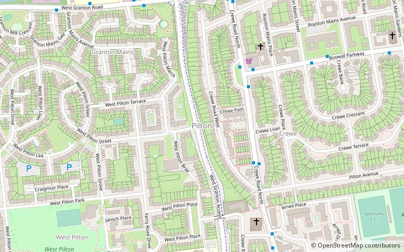
Pilton is a residential area of northern Edinburgh, Scotland. It is to the north of Ferry Road, immediately east of Muirhouse, and to the west and south of Granton.
Clovenstone
Clovenstone is a neighbourhood in southwestern Edinburgh, Scotland. It is adjacent to Wester Hailes and the A720 road.
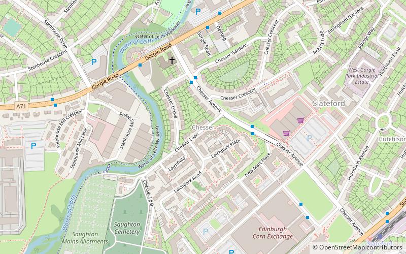
Chesser
Chesser is a mainly residential suburb of Edinburgh, Scotland, east of the Water of Leith. It, with Longstone, is to the south-west, Allan Park and Craiglockhart to the south, Slateford, Hutchison and Moat to the east, and Gorgie Road to the north.
Greenbank
Greenbank is a residential district of south Edinburgh, Scotland. It is situated between the districts of Morningside and Oxgangs, i.e. slightly to the south-west of the heart of Morningside.
Map


