Denver: Neighbourhood
Places and attractions in the Neighbourhood category
Categories
- Museum
- Church
- Concerts and shows
- Theater
- Gothic Revival architecture
- Park
- Shopping
- History museum
- Specialty museum
- Art museum
- Shopping centre
- Sport
- Sport venue
- Bridge
- Nightlife
- Amusement park
- Music venue
- Golf
- Neighbourhood
- Cemetery
- Arenas and stadiums
- Amusement ride
- Amusement
- Tower
- Romanesque architecture
- Area
- Art gallery
- Historical place
- Library
- Synagogue
- Skyscraper
LoDo
LoDo is an unofficial neighborhood in Denver, Colorado, and is one of the oldest places of settlement in the city. It is a mixed-use historic district, known for its nightlife, and serves as an example of success in urban reinvestment and revitalization.
Downtown Denver
Downtown Denver is the main financial, commercial, business, and entertainment district in Denver, Colorado. There is over 23 million square feet of office space in downtown Denver, with 132,000 workers.
Civic Center
Civic Center, Denver is a neighborhood in Denver, Colorado, United States. The northern part of the neighborhood overlaps partially with the Denver Civic Center, an area of parks and civic buildings.
Jefferson Park
Jefferson Park is a neighborhood and public park that overlooks Downtown Denver, Colorado from its perch across Interstate 25. It is located in the area that is called North Denver.
Sun Valley
Sun Valley is a central Denver neighborhood, bordered by I-25 on the east, Federal Blvd. on the west, 6th Avenue on the south and 20th Ave. on the north. It is located in the area known as West Denver.
North Capitol Hill
North Capitol Hill, often referred to as Uptown, is a center city neighborhood near the Colorado State Capitol. The neighborhood has a diverse population, and is similar to surrounding neighborhoods of Five Points and Capitol Hill, in that it cannot be defined by a single demographic.
Elyria-Swansea
Elyria-Swansea is a neighborhood of Denver, Colorado. It is located in East Denver, on the northeast side of the city. In 2007, the neighborhood had 7,218 residents and 1,787 households.
Humboldt Street Historic District
Humboldt Street Historic District, or Humboldt Island, is located west of Cheesman Park in Denver, Colorado on Humboldt Street between East Tenth and Twelfth Streets.
City Park West
City Park West is a neighborhood of Denver, Colorado. It is a district of mostly single-family homes, small apartment buildings, and one very large hospital complex. The center of the district features the medical facilities of Presbyterian/St. Luke's Hospital, Exempla St.
Highland
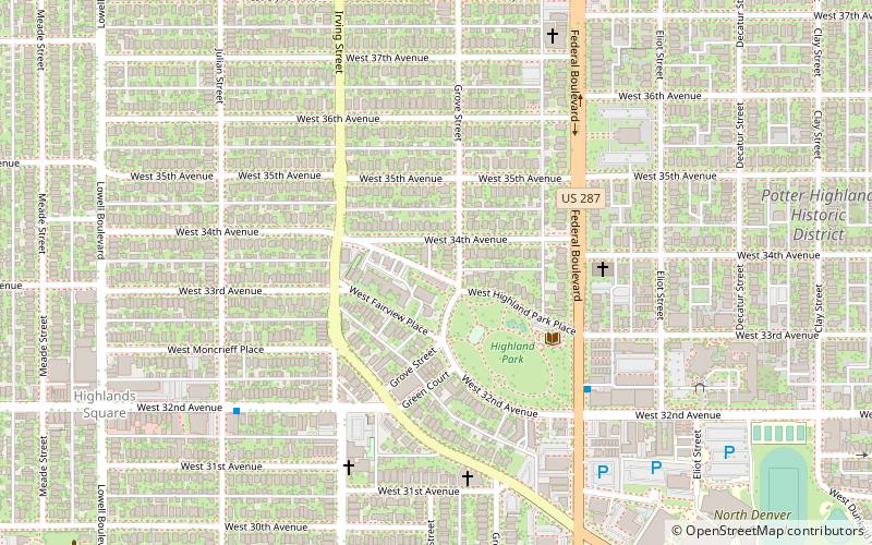
Highland is a distinct city-center neighborhood in Denver, Colorado, bounded by West 38th Avenue to the north, a Union Pacific Railroad line on the east, the South Platte River to the southeast, Speer Boulevard on the south, and Federal Boulevard on the west.
Lincoln Park
Lincoln Park is a neighborhood and public park close to downtown Denver, Colorado and the location of the Art District on Santa Fe.
Cole
Cole is a neighborhood of Denver, Colorado. It is in the area commonly known as North Denver. According to the Piton Foundation in 2007 the population of the neighborhood was 6,041, and there were 1,794 housing units.
Alamo Placita
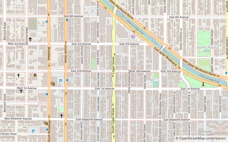
Alamo Placita is a historic district and unofficial neighborhood of Denver, Colorado, United States. It is named after Alamo Placita Park which is located on the north side of Speer Boulevard between Ogden and Emerson Streets.
Globeville
Globeville is a neighborhood of Denver, Colorado. Globeville is located in the area traditionally called North Denver.
Tilden School for Teaching Health
The Tilden School for Teaching Health operated from 1916 to 1931 as a private residential teaching institution and sanitarium that offered patients an alternative to the standard medical practices of the day. Located in Denver, Colorado, the school was established to teach and promote the medical theories of its founder, Dr.
Auraria
Auraria was a small mining settlement in the Kansas Territory in the United States. Today it survives in its original location as a neighborhood of Denver, Colorado, south of the confluence of Cherry Creek and the South Platte River.
Regis
Regis is a neighborhood in Denver. Located in North Denver, its boundaries are Harlan Street to the west, Clear Creek to the northwest, 52nd Avenue and the northern border of the Regis University campus to the north, Federal Boulevard to the east, and highway I-70 to the south.
Speer
Speer is the official name for the Denver neighborhood bounded by 7th Avenue, Broadway, Alameda Avenue and Downing Street. The northeast portion northeast of Speer Boulevard is generally referred to as Alamo Placita due to a local park and historic district of this name.
Arapahoe Acres
Arapahoe Acres is a neighborhood bounded by East Bates, East Dartmouth Avenues, South Marion, South Franklin Streets in Englewood, Colorado.
David W. Brown House
The David W. Brown House is a home located at 2303 E. Dartmouth. in Englewood, Colorado. An example of Prairie style the house was built and occupied by David W. Brown, who built the coal-mining Rocky Mountain Fuel Company. The house has 18 rooms and 6 fireplaces. It was designed by architect George H. Williamson.
Belcaro
Belcaro is a neighborhood of Denver, Colorado. According to the Piton Foundation, in 2007, the population of the neighborhood was 4,394, and there were 2,343 housing units.
University
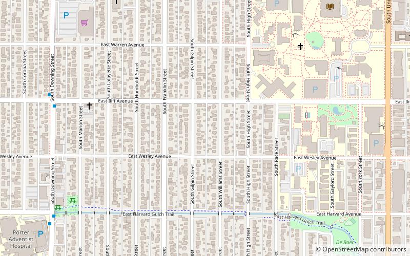
University is a neighborhood in Denver, Colorado. It is home to the University of Denver, many university students, and other residents and businesses, including the first Chipotle Mexican Grill.
Virginia Village
Virginia Village is a neighborhood of Denver, Colorado, roughly five miles southeast of downtown. The neighborhood is bounded on the west by Colorado Boulevard, one of Denver's busiest thoroughfares, on the southwest by Interstate 25 and on the northeast by Cherry Creek.
Montbello
Montbello is a neighborhood in the northeastern section City and County of Denver, Colorado. Montbello is one of Denver's largest neighborhoods, with over 9,000 housing units, and over 30,000 residents.
Washington Virginia Vale
Washington Virginia Vale is a neighborhood in southeastern Denver, Colorado. The neighborhood is roughly bound by Alameda Avenue, South Cherry Creek Drive, and South Quebec Street.
Lowry
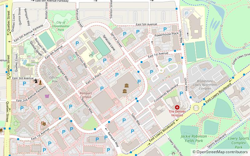
Lowry is a neighborhood in the City and County of Denver, Colorado. The Lowry neighborhood is located at the site of the former Lowry Air Force Base. The old Lowry Firehouse has been converted into Colorado Free University. The Denver U.S. Post Office serves the neighborhood.
Berkeley
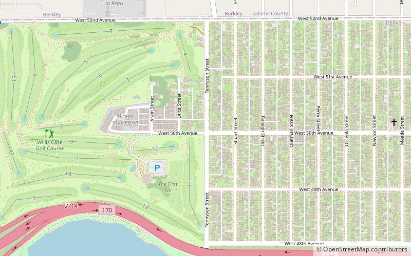
Berkeley is a city-center neighborhood in Denver, Colorado, located in the area traditionally called Northwest Denver, on the west side of Interstate 25 and just south of Interstate 70.
Athmar Park
Athmar Park is a residential neighborhood in southwest Denver, Colorado. It consists mostly of all-brick ranches and bungalow-style homes built in the 1940s and 1950s.
Ruby Hill
Ruby Hill is a neighborhood of Denver, Colorado. The neighborhood takes its name from Ruby Hill, a 5,390 ft elevation hill in the neighborhood that overlooks much of South Denver. The hill itself was named for red stones found in the area by early miners, stones that turned out to be garnets.
Valverde
Valverde is a neighborhood of Denver, Colorado. It is in the area known as West Denver or the "West Side". According to the Piton Foundation, in 2007, the population of the neighborhood was 4,093, and there were 1,276 housing units.
Clayton
Clayton is a neighborhood located in the city and county Denver, Colorado. Often confused with Park Hill, Cole, or the City Park neighborhoods, Clayton is a distinct neighborhood as defined by the city of Denver.
Sunnyside
Sunnyside is a city-center neighborhood in Denver, Colorado, located in the Northside of Denver, west of Interstate 25. The neighborhood is bounded by Union Pacific Railroad lines on the east, Interstate 70 on the north, Federal Boulevard on the West and 38th Avenue on the south.
West Colfax
West Colfax is a neighborhood of Denver, Colorado. The neighborhood is located in the West Denver area. In 2015 the population of the neighborhood was 9,120, and there were 4,055 housing units.
Barnum
Barnum is a neighborhood of Denver, Colorado. The neighborhood is located in the area known as West Denver. According to the Piton Foundation, in 2007, the population of the neighborhood was 6,456, and there were 1,924 housing units.
Chaffee Park
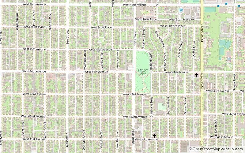
Chaffee Park is a neighborhood in Denver, Colorado located in the northwest corner of the city. Chaffee Park is north of Sunnyside connected via Zuni Street, and northeast of Berkeley connected through Regis via nearby Lowell Boulevard.
Map


