Oakland: Neighbourhood
Places and attractions in the Neighbourhood category
Categories
- Park
- Museum
- Art gallery
- Church
- Nightlife
- Outdoor activities
- Shopping
- Specialty museum
- Concerts and shows
- History museum
- Historical place
- Universities and schools
- Theater
- Shopping centre
- Cemetery
- Natural attraction
- Sport venue
- Sport
- Bridge
- Library
- Nature
- Ship
- Neighbourhood
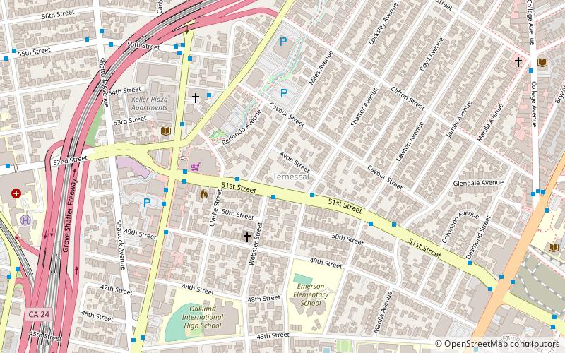
Temescal
Temescal is one of the oldest neighborhoods in Oakland, California, located in North Oakland, and centered on Telegraph Avenue. The neighborhood derives its name from Temescal Creek, a significant watercourse in the city.
Jack London Square
Jack London Square is an entertainment and business destination on the waterfront of Oakland, California, United States.
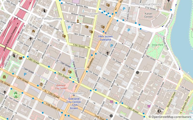
Downtown Oakland
Downtown Oakland is the central business district of Oakland, California, United States; roughly bounded by both the Oakland Estuary and Interstate 880 on the southwest, Interstate 980 on the northwest, Grand Avenue on the northeast, and Lake Merritt on the east.
East Oakland
East Oakland is a geographical region of Oakland, California, United States, that stretches between Lake Merritt in the northwest and San Leandro in the southeast.
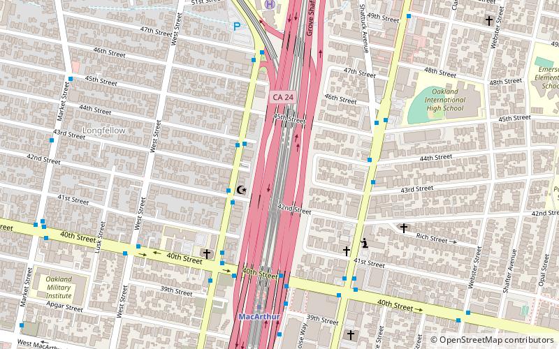
Longfellow
Longfellow is a neighborhood of North Oakland, California. It is bounded by Temescal Creek to the north, State Route 24 to the east, Interstate 580 to the south, and Adeline Street to the west.
Rockridge
Rockridge is a residential neighborhood and commercial district in Oakland, California. Rockridge is generally defined as the area east of Telegraph Avenue, south of the Berkeley city limits, west of the Oakland hills and north of the intersection of Pleasant Valley Avenue/51st Street and Broadway.
Old Oakland
Old Oakland is a historic district in downtown Oakland, California. The area is located on the northwest side of Broadway, between the City Center complex and the Jack London Square district, and across Broadway from Chinatown.
Oaksterdam
Oaksterdam is a cultural district on the north end of Downtown Oakland, California, where medical cannabis is available for purchase in cafés, clubs, and patient dispensaries.
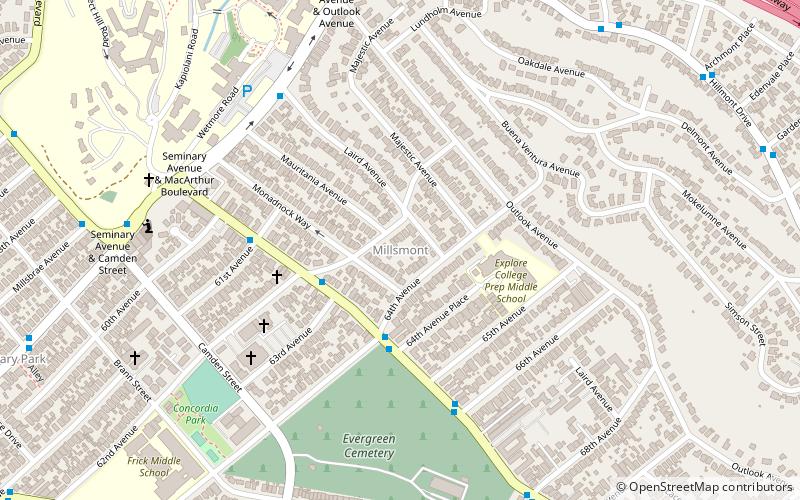
Millsmont
The Millsmont neighborhood located in the foothills of Oakland, California encompasses the area of East Oakland to the south and east of Mills College.
Village Bottoms
The Village Bottoms is a historic cultural district in the predominantly Black neighborhood of West Oakland, California.
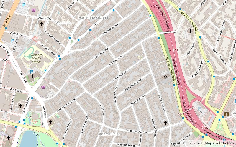
Adams Point
Adams Point is a neighborhood of Oakland, California. It is located on the northern shore of Lake Merritt, directly adjacent to Downtown Oakland and the Grand Lake district.
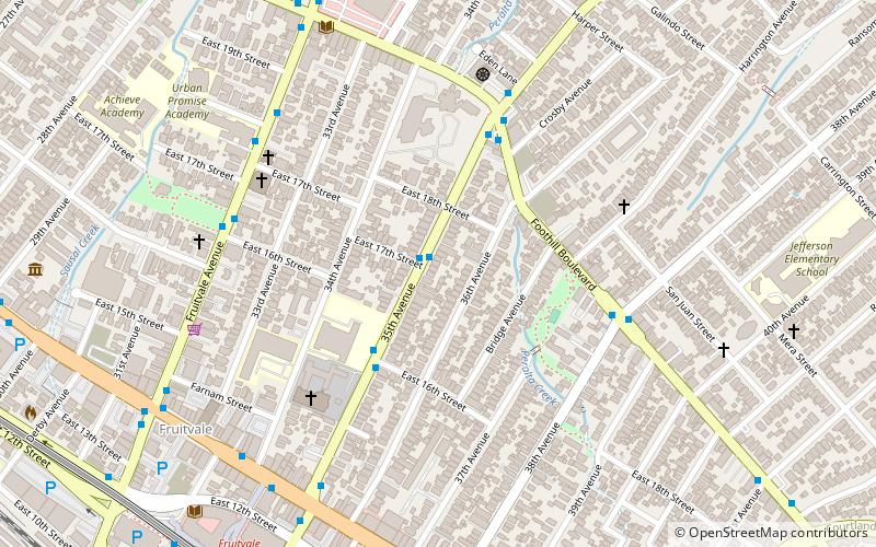
Fruitvale
Fruitvale is a neighborhood in Oakland, California, United States. It is located approximately 4 miles southeast of Downtown, and is home to the city's largest Hispanic population, with Hispanics constituting 53.8% of Fruitvale's population.
Redwood Heights
Redwood Heights is a mostly middle-class and highly diverse residential neighborhood in the hills of East Oakland, California. It is centered on Redwood Road, which was once a logging road.
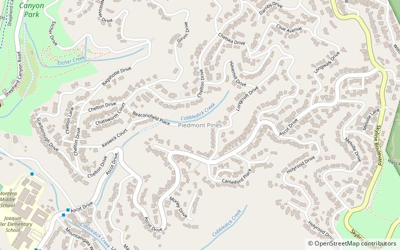
Piedmont Pines
Piedmont Pines is an affluent residential neighborhood in the hills of Oakland, California. It is generally bounded by Highway 13 to the west, Shepherd Canyon Rd. to the north, Skyline Blvd. to the east, and Joaquin Miller Park to the south.
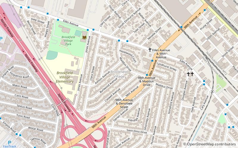
Brookfield Village
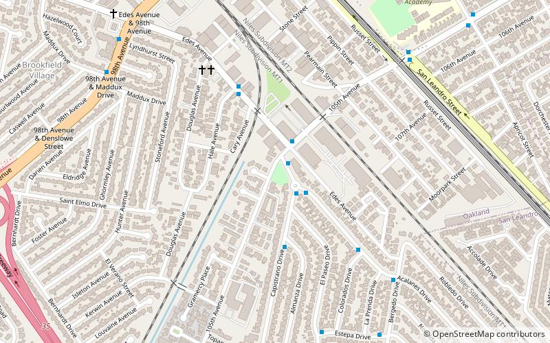
Brookfield Village is an Oakland, California neighborhood located in East Oakland near Oakland International Airport. The main streets are 98th Avenue and Edes Avenue.
Dimond District
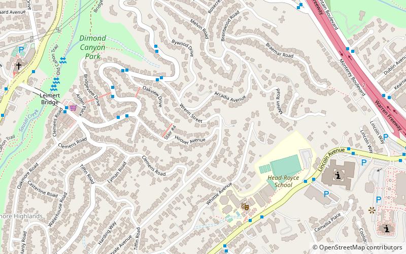
The Dimond District is a neighborhood centered on the intersection of MacArthur Boulevard and Fruitvale Avenue in East Oakland, California, in the United States.
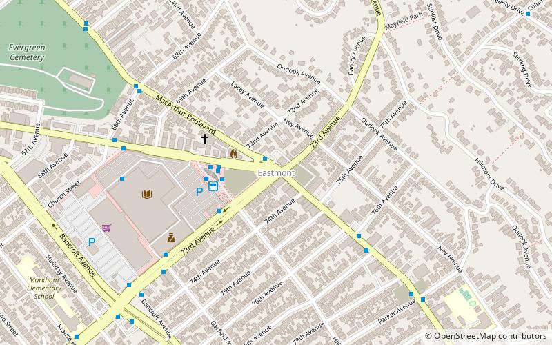
Eastmont
Eastmont is a neighborhood in Oakland, the county seat of Alameda County, California. It lies at an elevation of 95 feet. It was formerly an unincorporated community.
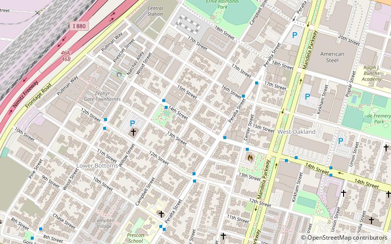
West Oakland
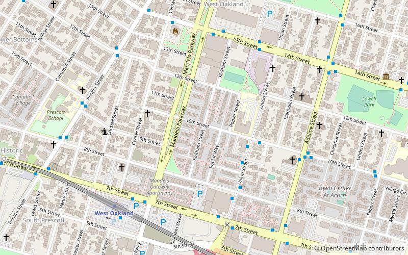
West Oakland is a neighborhood situated in the northwestern corner of Oakland, California, United States, situated west of Downtown Oakland, south of Emeryville, and north of Alameda.
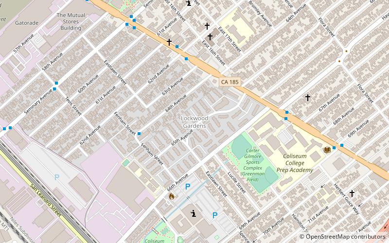
Lockwood Gardens
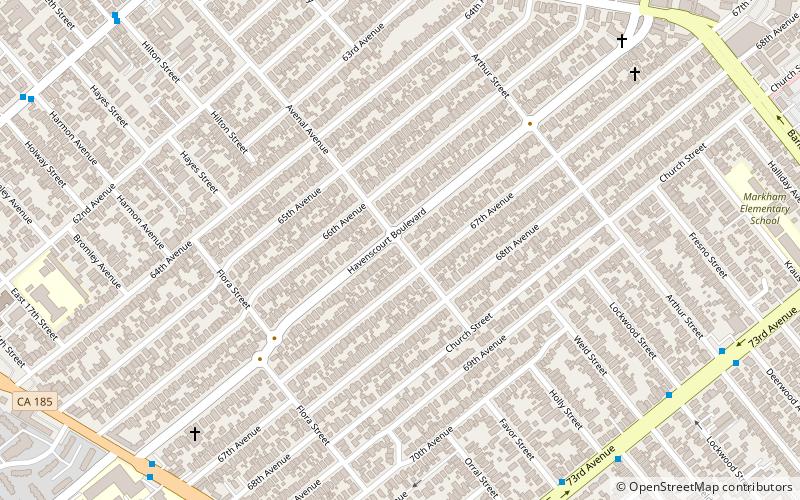
Lockwood Gardens, is a neighborhood and housing project located in East Oakland, California, on 65th and International Boulevard. The neighborhood lies at an elevation of 25 feet and is located less than a mile from the Oakland Coliseum.
North Oakland
North Oakland is an area in Oakland, California, United States, bordered by Downtown Oakland, Oakland Hills, and the adjacent cities of Berkeley, Emeryville and Piedmont. Annexed to Oakland in 1897.
Oakland Point
Oakland Point, or Gibbons' Point, was a small promontory formerly on the eastern shore of San Francisco Bay in West Oakland, California. It was located in the vicinity of what is now the Port of Oakland shipping terminal.
San Pablo Arts District
The San Pablo Arts District is a nascent arts district along the San Pablo Avenue corridor, between 53rd and 67th Streets in the Golden Gate neighborhood of Oakland, California.
Seminary
Seminary is a neighborhood in the East Oakland section of Oakland, California. It is located just north of the Elmhurst neighborhood. Seminary's ZIP code is 94621. It is best known for its close proximity to Mills College. Seminary is named after Mills College.
Ridgemont
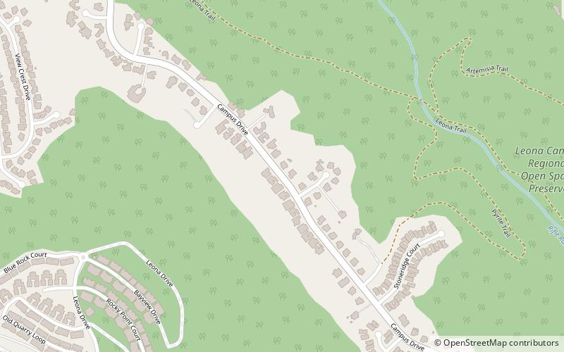
Ridgemont is a neighborhood in Oakland, California, next to Merritt College along Campus Drive, the main thoroughfare at the ridgeline.
Trestle Glen
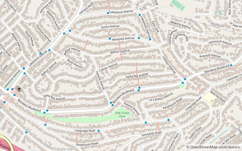
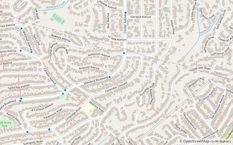
Trestle Glen is a neighborhood in Oakland, California. It is located east of Lakeshore Avenue, a shopping street which it shares with the Grand Lake District. It lies at an elevation of 144 feet. The streets are laid out in the curvilinear pattern of early 20th century garden suburbs.
Jingletown
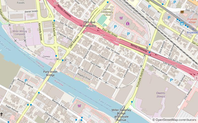
Jingletown is a pocket arts community in Oakland, California, adjacent to the Oakland Estuary, and about two miles southeast of Lake Merritt.
Crocker Highlands
Crocker Highlands is a neighborhood located in the north-eastern area of Oakland, California, United States.
Acorn
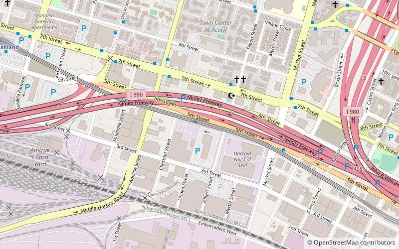
Acorn or Acorn Projects are a series of housing projects in the Acorn Redevelopment Project Area or the Acorn neighborhood of West Oakland. Acorn, also known as "The Corns" or the "Cornfields", neighbors a wide variety of public housing.
Sobrante Park
Sobrante Park is a neighborhood located in East Oakland, California, which is partially separated from the rest of the city by two railroad tracks and San Leandro Creek.
Dogtown
Dogtown is a nickname for a portion of West Oakland in the city of Oakland, California. Oakland Police officers coined the phrase due to a large population of stray dogs dating from the early 1980s.
Oakmore
Oakmore is a neighborhood in Oakland, California located east of Park Boulevard and north of Dimond Park. This neighborhood was built in the 1920s and 1930s for people who worked in San Francisco and took the Key Route to work.
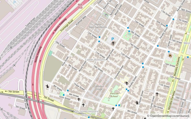
Campbell Village Court
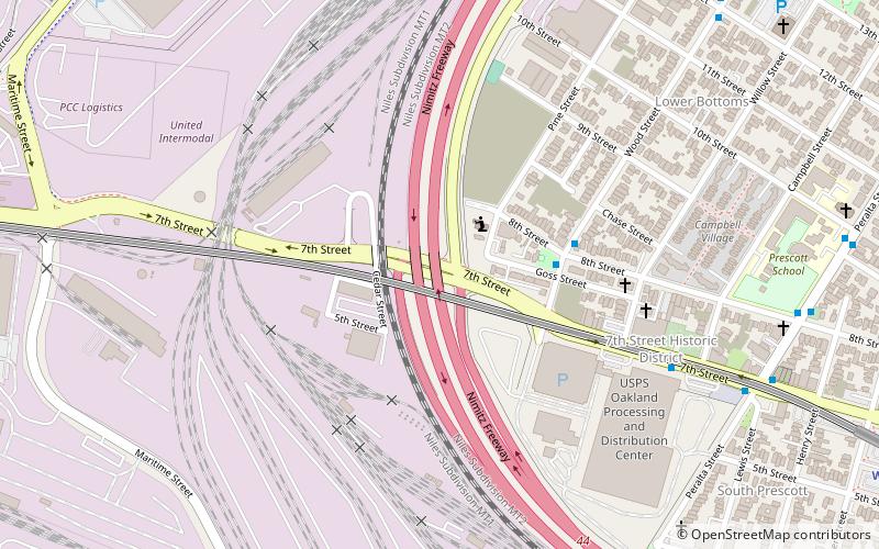
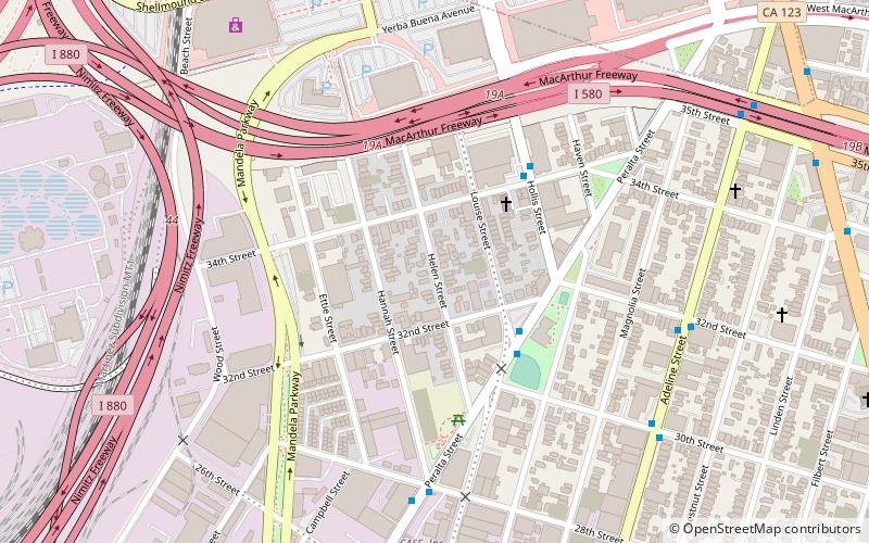
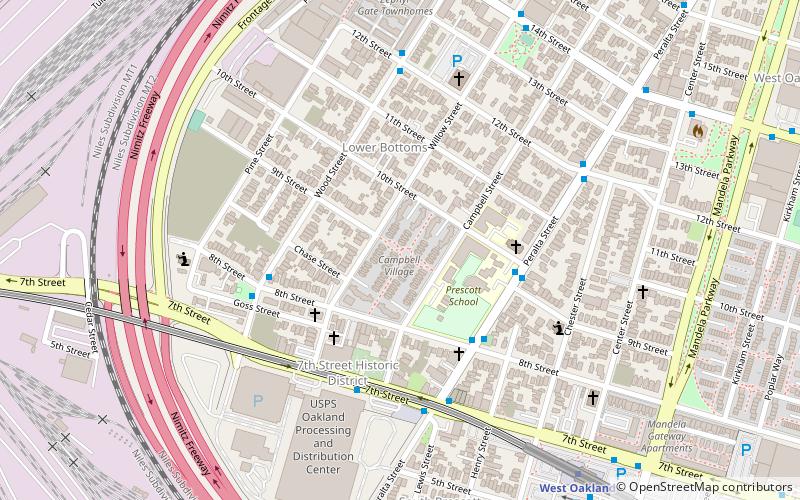
The Campbell Village Court housing projects are a series of complexes located in the Campbell Village part of the Lower Bottoms area of West Oakland California.
Sequoyah Heights
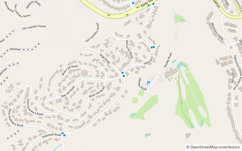
Sequoyah Heights is a smaller part of the Oak Knoll neighborhood that runs alongside the southeastern part of the Oakland hills. The neighborhood borders San Leandro.
Chabot Park
Chabot Park is located in the Southeastern section of the Oakland Hills. This neighborhood has a population of ~2,845. Chabot Park is in Alameda County. Living in Chabot Park offers residents a sparse urban feel and most residents own their homes. In Chabot Park there are a lot of parks and expansive views.
Peralta Villa
Peralta Villa is a neighborhood in Oakland in Alameda County, California. It lies at an elevation of 20 feet. It was formerly an unincorporated community.
Campbell Village
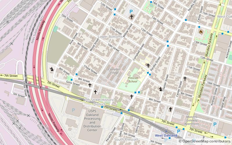
Campbell Village is a neighborhood of Oakland, California in Alameda County, California. It lies at an elevation of 16 feet. Campbell Village is the site of the Campbell Village Court housing projects.
Leona Heights
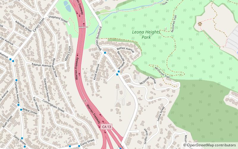
Leona Heights is a neighborhood of Oakland in Alameda County, California. It lies at an elevation of 325 feet.
Map

