Glasgow: Neighbourhood
Places and attractions in the Neighbourhood category
Categories
- Church
- Museum
- Park
- Nightlife
- Bridge
- Theater
- Shopping
- Concerts and shows
- Art museum
- History museum
- Art gallery
- Music venue
- Specialty museum
- Sport
- Sport venue
- Historical place
- Music and shows
- Architecture
- Sacred and religious sites
- Area
- Shopping centre
- Dancing
- Art Nouveau architecture
- Concert hall
- Arenas and stadiums
- Street
- Gothic Revival architecture
- Cinema
- Neighbourhood
- Square
- Town
- Performing arts
- Event space
- Cemetery
- Universities and schools
- Golf
- Forts and castles
- Canal
- Library
- Synagogue
- Garden
- Natural attraction
- Nature
- Harbor
- Skyscraper
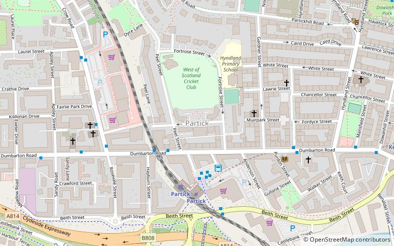
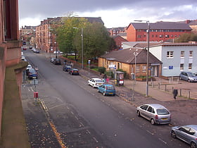
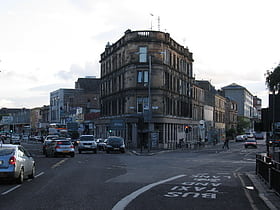
Partick
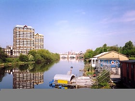
Partick is an area of Glasgow on the north bank of the River Clyde, just across from Govan. To the west lies Whiteinch, to the east Yorkhill and Kelvingrove Park, and to the north Broomhill, Hyndland, Dowanhill, Hillhead, areas which form part of the West End of Glasgow.
Govanhill
Govanhill is an area of Glasgow, Scotland, situated south of the River Clyde between Pollokshields, the Gorbals, Strathbungo, Crosshill, Polmadie and Queen's Park.
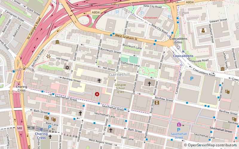
Garnethill
Garnethill is a predominantly residential area of the city of Glasgow, Scotland with a number of important public buildings.
Dennistoun
Dennistoun is a mostly residential district in Glasgow, Scotland, located north of the River Clyde and in the city's east end, about 1+1⁄4 miles east of the city centre.
Hyndland
Hyndland is a residential area in the West End of the city of Glasgow, Scotland.
Pollokshaws
Pollokshaws is an area on the South side of the city of Glasgow, Scotland. It is bordered by the residential neighbourhoods of Auldhouse to the east, Eastwood and Hillpark to the south and Shawlands to the north, with the Glasgow South Western Line railway and the open lands of Pollok Country Park to the west.
Anniesland
Anniesland is a district in the West End of the Scottish city Glasgow. It is situated north of the River Clyde, and centres on the major road junction of the Great Western Road and Crow Road/Bearsden Road, known as Anniesland Cross.
Hillhead
Hillhead is an area of Glasgow, Scotland. Situated north of Kelvingrove Park and to the south of the River Kelvin, Hillhead is at the heart of Glasgow's fashionable West End, with Byres Road forming the western border of the area, the other boundaries being Dumbarton Road to the south and the River Kelvin to the east and north.
Calton
Calton, known locally as The Calton, is a district in the Scottish city of Glasgow. It is situated north of the River Clyde, and just to the east of the city centre.
Woodside
Woodside is a district in the Scottish city of Glasgow and also forms some of the most southern part of the much larger district of Maryhill. It is situated north of the River Clyde, between the River Kelvin and the Forth and Clyde Canal.
Jordanhill
Jordanhill is an affluent area of the West End of the city of Glasgow, Scotland. The area consists largely of terraced housing dating from the early to mid 20th century, with some detached and semi-detached homes and some modern apartments.
Whitlawburn
Whitlawburn is a residential area in the town of Cambuslang in South Lanarkshire, Scotland. It is located south of the town centre on high ground overlooking the Greater Glasgow urban area.
Scotstoun
Scotstoun is an area of Glasgow, Scotland, west of Glasgow City Centre. It is bounded by Garscadden and Yoker to the west, Victoria Park, Jordanhill and Whiteinch to the east, Jordanhill to the north and the River Clyde to the south.
Merchant City
The Merchant City is the area close to George Square and Glasgow City Chambers, and reaching Glasgow Cross, some parts dating from the medieval period, in the centre of Glasgow, Scotland. It contains offices, flats, retail shops, restaurants, and bars.
Fernhill
Fernhill is a residential neighbourhood in the Scottish town of Rutherglen in South Lanarkshire; it is situated south of the River Clyde and borders the Rutherglen neighbourhoods of High Burnside to the north and Cathkin to the east, the Glasgow district of Castlemilk to the west, and the open lands of Fernbrae Meadows to the south.
Cardonald
Cardonald is an outlying suburb of the Scottish city of Glasgow. Formerly a village in its own right, it lies to the southwest of the city and is bounded to the south by the White Cart Water.
Hutchesontown
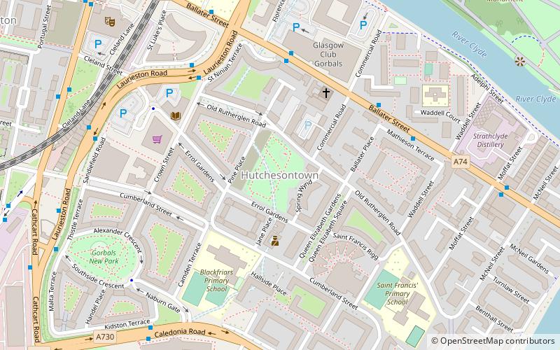
Hutchesontown is an inner-city area in Glasgow, Scotland. Mostly residential, it is situated directly south of the River Clyde and forms part of the wider historic Gorbals district, which is covered by the Southside Central ward under Glasgow City Council.
Wyndford
Wyndford is an area of the city of Glasgow, Scotland. Located two miles northwest of the city centre in Maryhill, Wyndford is bounded by Maryhill Road to the north and the River Kelvin to the south.
Townhead
Townhead is an area of the city of Glasgow, Scotland. It is situated immediately north-east of Glasgow city centre and contains a residential sector, a commercial/industrial sector and the campus of the University of Strathclyde.
Crosshill
Crosshill is an area of Glasgow, Scotland. It is situated south of the River Clyde. It was an independent police burgh from 1871 to 1891 before being annexed to the city.
Sandyhills
Sandyhills is an area of the Scottish city of Glasgow. It is situated north of the River Clyde and has fallen within the Shettleston ward of Glasgow City Council since 2007.
Toryglen
Toryglen is a district in southern Glasgow, Scotland, falling within the Langside ward under Glasgow City Council.
Nitshill
Nitshill is a district on the south side of Glasgow. It is bordered by South Nitshill to the south, Darnley to the east, Crookston and Roughmussel to the north-west, Hurlet to the west and Househillwood and Priesthill to the north, with the Pollok district and the Silverburn Centre beyond.
Croftfoot
Croftfoot is a residential area on the southeastern side of the Scottish city of Glasgow. It is bordered by Castlemilk to the south and King's Park to the west within Glasgow, and by the Rutherglen areas of Spittal to the east and Bankhead to the north.
Kelvinhaugh
Kelvinhaugh is a neighbourhood in the city of Glasgow, Scotland. It is situated directly north of the River Clyde in the West End of the city.
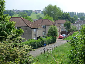
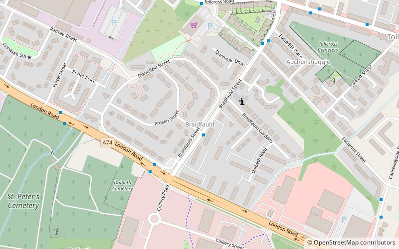
Braidfauld
Braidfauld is a small area of Glasgow, Scotland which is in the East End of the city slightly north of the River Clyde and south of the Tollcross area.
Blairdardie
Blairdardie is a neighbourhood in the Scottish city of Glasgow. It is situated north of the River Clyde in the north-west of the city and is surrounded by other residential areas: High Knightswood, Knightswood, Old Drumchapel, Drumchapel and Garscadden.
Barrowfield
Barrowfield is a neighbourhood of Glasgow, Scotland, close to Celtic Park, home of Celtic F.C. which lies immediately to the east. It is bounded by the A89 road to the north and the A74 to the south.
Possilpark
Possilpark is a district in the Scottish city of Glasgow, situated north of the River Clyde and centred around Saracen Street. The area developed around Saracen Foundry of Walter MacFarlane & Co. which was the main employer.
Deaconsbank
Deaconsbank is a neighbourhood in the Scottish city of Glasgow. It is situated south of the River Clyde.
Cowcaddens
Cowcaddens is an area of the city of Glasgow, Scotland. It is very close to the city centre and is bordered by the newer area of Garnethill to the south-west and old Townhead to the east.
South Nitshill
South Nitshill is a neighbourhood in the Scottish city of Glasgow. It is situated south of the River Clyde, in the south-west of the conurbation and within the Greater Pollok ward of the local authority area.
Darnley
Darnley is an area in south-west Glasgow, Scotland, on the A727 just west of Arden. Other nearby neighbourhoods are Priesthill to the north, Southpark Village to the south, and South Nitshill and Parkhouse to the west; there is also a small industrial estate. The closest railway station is Priesthill and Darnley.
Thornwood
Thornwood is a largely residential area of Glasgow, Scotland, lying north of the River Clyde. Part of the city's West End, it is situated almost on the river between Partick to the east and south and Broomhill to the north and west; the neighbourhoods of Whiteinch, Glasgow Harbour and Hyndland are also fairly close.
Blythswood Hill
Blythswood Hill, crowned by the elegance of Blythswood Square, is the wealthiest part of central Glasgow, Scotland. It extends from the west edge of Buchanan Street to Gordon Street and Bothwell Street, Charing Cross, Sauchiehall Street and Garnethill.
Barlanark
Barlanark is a district in the Scottish city of Glasgow. It is situated east of Budhill, Shettleston and Springboig, north west of Baillieston, west of Springhill and Swinton and south of Easthall, Easterhouse and Wellhouse.
Corkerhill
Corkerhill is a neighbourhood of Glasgow, Scotland, southwest of the city centre. The area was originally a farm and a few houses built for workers of the Glasgow and South Western Railway at the Corkerhill Depot.
Battlefield
Battlefield is a district in the Scottish city of Glasgow. It is situated south of the River Clyde. The area takes its name from the Battle of Langside of 1568 in which Mary, Queen of Scots' army was defeated by forces acting in the name of her infant son, James VI.
Southpark Village
Southpark Village is a housing estate in the Darnley area of the Scottish city of Glasgow. The northwestern area was built during the mid to late 1980s, but the southeastern part was built in the late 2010s.
Garrowhill
Garrowhill is a residential area within the wider Baillieston suburb of Glasgow, Scotland. It is situated approximately 7 miles east of the city centre.
Kelvindale
Kelvindale is a district in the West End of the city of Glasgow, Scotland. Kelvindale shares the G12 postcode with the neighbouring residential districts of Kelvinside, Hillhead, Hyndland, Dowanhill, as well as Gartnavel General Hospital, Glasgow Clyde College and the University...
Barmulloch
Barmulloch is a district in the Scottish city of Glasgow. It is situated north of the River Clyde. Formerly rural, it was developed as a post war overspill housing area, largely featuring Prefabricated housing.
Auchenshuggle
Auchenshuggle is an area of the city of Glasgow in Scotland, to the south of Tollcross. It was the easternmost part of the Braidfauld Ward of the City of Glasgow, and has been in the larger Shettleston ward since 2007.
Shawlands
Shawlands is an area of Glasgow, Scotland, located around 2 miles south of the River Clyde. The area is known for its independent restaurant and cafés, art scene, public parks, period terraces, and red and blond sandstone tenements.
Map

