Leeds: Neighbourhood
Places and attractions in the Neighbourhood category
Categories
- Church
- Park
- Museum
- Gothic Revival architecture
- Shopping
- Nightlife
- Shopping centre
- Area
- History museum
- Neighbourhood
- Golf
- Hiking trail
- Hiking
- Historical place
- Bridge
- Town
- City hall
- Music venue
- Music and shows
- Concerts and shows
- Theater
- Natural attraction
- Nature
- Specialty museum
- Georgian architecture
- Cinema
- Architecture
- Library
- Bars and clubs
- Sport venue
- Sport
- Tower
- Village
- Arenas and stadiums
Leeds Dock
Leeds Dock is a mixed development with retail, office and leisure presence by the River Aire in central Leeds, West Yorkshire, England. It has a large residential population in waterside apartments.
Far Headingley
Far Headingley is an area of Leeds, West Yorkshire, England approximately 3 miles north of the city centre. The parish of Far Headingley was created in 1868.
Woodhouse
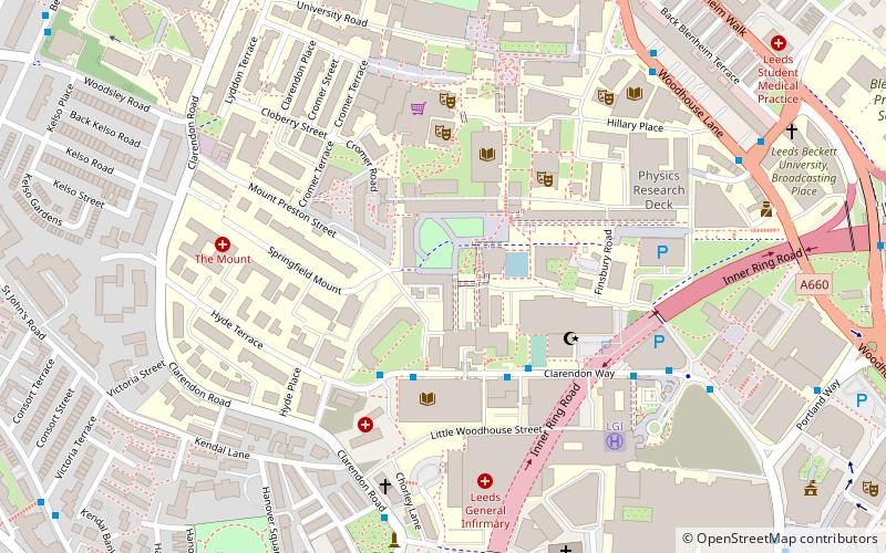
Woodhouse is a largely residential area just north of the city centre of Leeds and close to the University of Leeds. It is in the Hyde Park and Woodhouse ward of City of Leeds metropolitan district. The population of the ward at the 2011 Census was 25,914.
Whitkirk
Whitkirk is a suburb of east Leeds, situated between Cross Gates to the north, Austhorpe to the east, Killingbeck to the west, Colton to the south-east and Halton to the south-west. The Temple Newsam estate lies directly south of the area.
Bardsey cum Rigton
Bardsey cum Rigton is a civil parish in the City of Leeds metropolitan borough in West Yorkshire, England. According to the 2001 census it had a population of 2,385, increasing to 2,525 at the 2011 Census.
West Park
West Park is a suburb of north-west Leeds, West Yorkshire, England, north of Headingley. It is a mixed area of private suburban housing and suburban council estates. The name derives from its main park containing playing fields together with a conservation area of grassy meadow ending in woodland.
Gipton
Gipton is a suburb of east Leeds, West Yorkshire, England, between the A58 to the north and the A64 to the south. It is in the Gipton and Harehills ward of Leeds City Council and the Leeds East parliamentary constituency. The separate area and woodland of Gipton Wood is in Oakwood, north of Harehills and part of the Roundhay ward.
Lotherton cum Aberford
Lotherton cum Aberford is a civil parish in the metropolitan borough of Leeds in West Yorkshire, England. The population of the civil parish at the 2011 Census was 323. Until 1974 it was in the Tadcaster Rural District in the West Riding of Yorkshire.
Lawnswood
Lawnswood is a small suburb in the north west of the city of Leeds in West Yorkshire, England. As such it is north north east of the West Yorkshire Urban Area. The suburb falls within the Adel and Wharefdale Ward of the City of Leeds Council.
Stourton
Stourton is a mainly industrial area of the city of Leeds, West Yorkshire, England. The area falls within the City and Hunslet ward of Leeds Metropolitan Council.
Little London
Little London is a residential area of Leeds in England, north of the city centre and Leeds Inner Ring Road. It is so called because in the 19th century it had fashionable housing and interesting architecture comparable with London.
Gledhow Valley Woods
Gledhow Hall is an English country house in Gledhow, Leeds, West Yorkshire. A house, built in the 17th-century by John Thwaites, was remodelled for a new owner by the Yorkshire architect John Carr.
Killingbeck
Killingbeck is a district of east Leeds, West Yorkshire, England that is situated between Seacroft to the north, Cross Gates and Whitkirk to the east, Gipton to the west, Halton Moor to the south, Halton to the south-east and Osmondthorpe to the south-west.
Great and Little Preston
Great and Little Preston is a civil parish in the City of Leeds metropolitan borough, West Yorkshire, England. In 2001 census it had a population of 1,449, and 1463 in the 2011 census. It sits within the Leeds City Council ward of Garforth and Swillington.
Burley
Burley is an inner city area of Leeds, West Yorkshire, England, 1 mile north-west of Leeds city centre, between the A65 Kirkstall Road at the south and Headingley at the north, in the Kirkstall ward.
Halton Moor
Halton Moor is a district of east Leeds, West Yorkshire, England, about three miles east of Leeds city centre close to the A63.
Austhorpe
Austhorpe is a civil parish and residential suburb of east Leeds, West Yorkshire, England. It is 5 miles to the east of city centre and close to the A6120 dual carriageway and the M1 motorway.
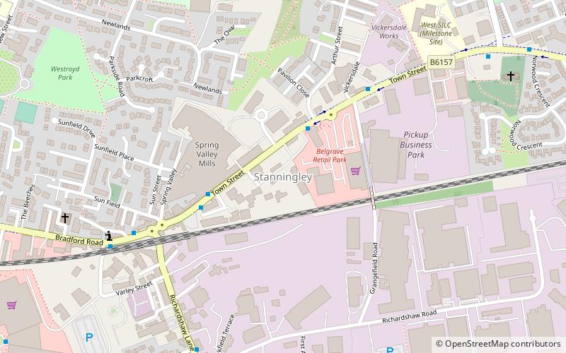
Stanningley
Stanningley is a district of Pudsey, West Yorkshire, England. It is situated approximately 5 miles west of Leeds city centre on the A647 road, the original main road from Leeds to Bradford.
Mabgate
Mabgate is an inner city area of Leeds, West Yorkshire, England and the name of one of its streets. In Leeds City Council's Mabgate Development Framework, "the area is bounded to the west by North Street; to the east by Macaulay Street; to the north by Mushroom Street and to the south by the New York Road".
Ainsty
Ainsty is an area of Wetherby, West Yorkshire, England. Ainsty is in the north of Wetherby and runs as far as the border between North and West Yorkshire, to the north of this is Kirk Deighton.
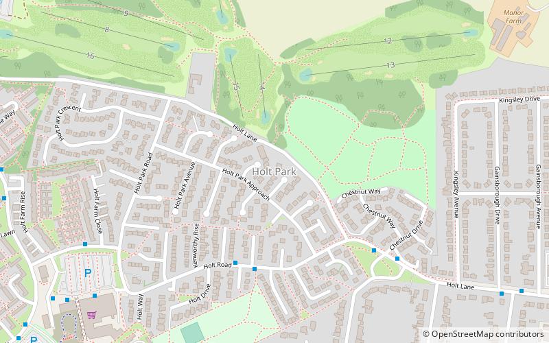
Holt Park
Holt Park is a medium-sized low-rise 1970s housing estate in the northwest suburbs of Leeds, West Yorkshire, England.
Lovell Park
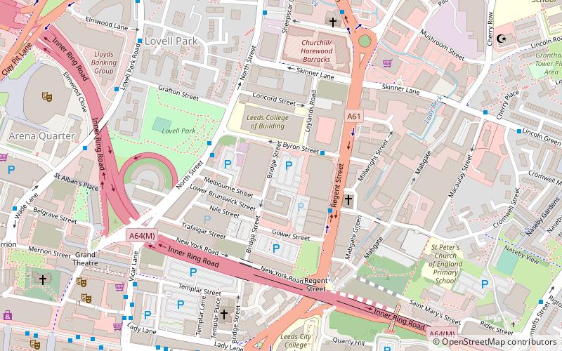
Lovell Park is an inner-city area of Leeds, West Yorkshire, England. The area falls within the Hyde Park and Woodhouse ward of the Leeds Metropolitan Council.
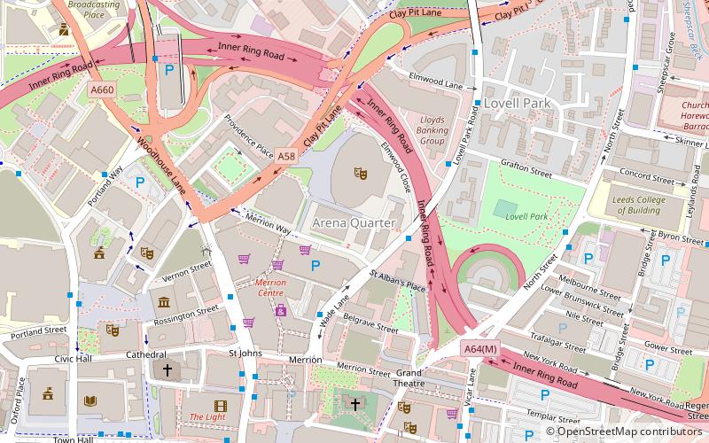
Arena Quarter
Arena Quarter is a mixed city centre development with residential, retail and office developments in Leeds, West Yorkshire, England. It is located in Leeds city centre and the area is best known for housing Leeds Arena. In recent years, a number of developments have been built in Arena Quarter.
Newall
Newall is an area of Otley in West Yorkshire, England. It lies on the north bank of the River Wharfe, across Otley Bridge from the central area of the town. The place-name, recorded in 1166 as Niuhale, simply means "New Hall".
Osmondthorpe
Osmondthorpe a district of east Leeds in West Yorkshire, England is considered part of the Halton Moor district. It is situated in the LS9 Leeds postcode area, two miles to the east of Leeds city centre between East End Park and Halton Moor.
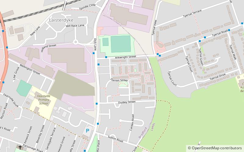
Fearnville
Fearnville is a small area of Leeds which has boundaries with Roundhay, Seacroft, Oakwood, Gipton and Harehills. Fearnville is commonly described as being part of Roundhay or Oakwood, although it is classed as being in the Killingbeck and Seacroft ward.
Holbeck Urban Village
Holbeck Urban Village is an area of Leeds city centre, close to Leeds railway station that has been undergoing a period of urban renewal.
Knowsthorpe
Knowsthorpe, Knostrop or Knostropp is an area of Leeds, West Yorkshire, England, on the River Aire. The spelling "Knostrop" is predominantly used for the large water treatment works in the area.
Tyersal
Tyersal is a village 2 miles east of Bradford and 8 miles west of Leeds and has a population of 2,605 according to Bradford Community Statistics Project.
Moor Grange
Moor Grange Estate is a housing estate in the West Park area of Leeds, West Yorkshire, England, which was built in the 1950s on reclaimed farmland. Work on the Moor Grange Estate began in 1955. It was originally owned by the local council, and was leased by the council to tenants as a council estate.
Ireland Wood
Ireland Wood is a small residential area in north-west Leeds, West Yorkshire, England named after the Woodland Trust wood which it contains. It is approximately 4 miles to the north-west of Leeds city centre. It was planned by Leeds Housing Director RAH Livett and won the Ministry Housing medal for 1945-9.
Wortley
Wortley is an inner city area of Leeds, West Yorkshire, England. It begins one mile to the west of the city centre. The appropriate City of Leeds ward is called Farnley and Wortley. It was known as Wirkelay until about 1700.
Beckett Park
Beckett Park is a residential area and a large public park in Leeds, West Yorkshire, England. It is in the Weetwood ward of Leeds City Council. It borders onto Headingley, West Park and Kirkstall. It is named after Ernest Beckett, 2nd Baron Grimthorpe.
Leylands
The Leylands was an area of Leeds, north of the city centre and west of Mabgate. John Cossins' 1726 Plan of Leedes shows two fields marked Ley Lands north of Lady Lane and west of the Sheepscar Beck which correspond to the area.
Sheepscar
Sheepscar is an inner city district of Leeds in West Yorkshire England, lying to the north east of Leeds city centre. The district is in the City of Leeds Metropolitan Council.
Hawksworth
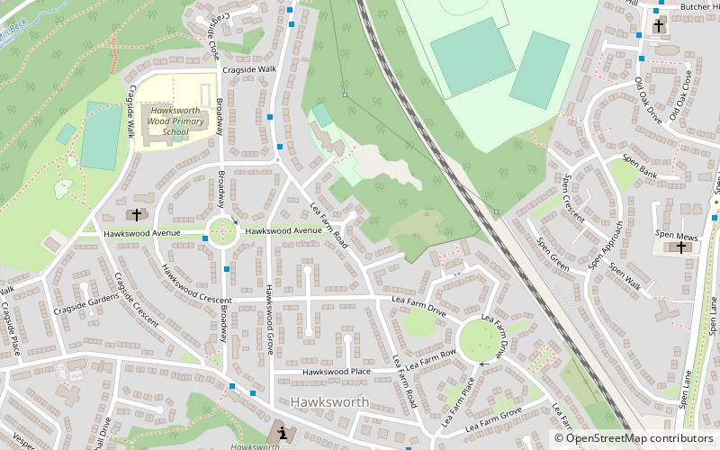
Hawksworth is a small, early twentieth-century council estate in the Kirkstall ward in Leeds, West Yorkshire, England. It is situated on a hill between West Park and Horsforth and is circled by Butcher Hill, the A65 and Vesper Road.
Beckhill
Beckhill is a small council estate in the Meanwood area of Leeds, West Yorkshire, England, which has received negative local publicity in the past, but is now the subject of urban regeneration.
School of Geography
The School of Geography is part of the Faculty of Environment at The University of Leeds based in the UK.
Sturton Grange
Sturton Grange is a civil parish in the City of Leeds in West Yorkshire, England. It has a population of 417, reducing to 403 at the 2011 Census. Most of the parish area is used for agriculture. Soft fruit is grown here at an industrial scale. Population is concentrated in the northwest near the boundary with Garforth.
Tinshill
Tinshill is a district of Leeds, 4 miles north of Leeds city centre, West Yorkshire, England. It was the Danes in the 9th century who named the hill "Tyndr's Hyll". The district is in the Weetwood ward of Leeds City Council. It is situated between Horsforth and Cookridge.
West Ardsley
West Ardsley is a settlement on the south-west edge of the City of Leeds metropolitan borough. Historically part of the West Riding of Yorkshire, it roughly approximates to an amalgamation of Tingley, Woodkirk, Hill Top, Upper Green, Common Side, Beggarington Hill and a number of other hamlets.
Swinnow
Swinnow is a housing estate in west Leeds, West Yorkshire, England. It is situated between Bramley and Pudsey on the west side of the outskirts of Leeds and is currently part of the Leeds City Council ward of Pudsey.
Wike
Wike is a hamlet and a former civil parish, now in the parish of Harewood, north of Leeds, West Yorkshire, England. It is in the City of Leeds metropolitan borough and is north of Shadwell and Roundhay, west of Scarcroft and south of East Keswick.
Hawksworth
Hawksworth is a village 1 mile west of the town of Guiseley in West Yorkshire, England. It is located to the south of Menston and north of Baildon.
Miles Hill
Miles Hill is a district in Leeds. It is about 1.5 miles north of Leeds city centre, West Yorkshire, England and is situated between Meanwood and Chapel Allerton next to Beck Hill.
Map


