Louisville: Neighbourhood
Places and attractions in the Neighbourhood category
Categories
- Museum
- Church
- Park
- Historical place
- Shopping
- History museum
- Sport
- Sport venue
- Amusement park
- Bridge
- Gothic Revival architecture
- Shopping centre
- Specialty museum
- Amusement ride
- Event space
- Concerts and shows
- Monuments and statues
- Amusement
- Theater
- Entertainment
- Golf
- Library
- Neighbourhood
- Arenas and stadiums
- Greek Revival architecture
Warwick Village
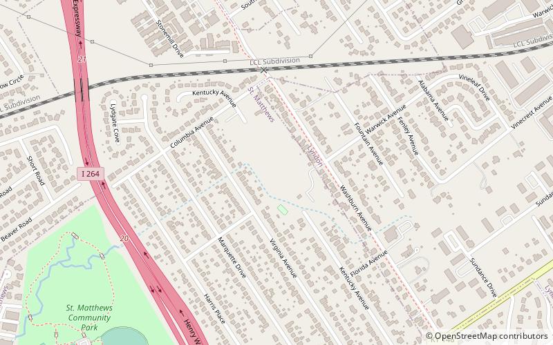
Warwick Village is a neighborhood located in Louisville, Kentucky. Warwick Village is just outside the Watterson Expressway and part of the City of St. Matthews, Its boundaries are roughly New La Grange Rd, Washburn Ave, and Columbia Ave.
Bonnycastle
Bonnycastle is a neighborhood four miles southeast of downtown Louisville, Kentucky USA. It is considered a part of a larger area of Louisville called The Highlands. Its boundaries are Bardstown Road, Cherokee Road, Eastern Parkway and Speed Avenue.
Downtown Louisville
Downtown Louisville is the largest central business district in the Commonwealth of Kentucky and the urban hub of the Louisville, Kentucky Metropolitan Area.
Smoketown
Smoketown is a neighborhood one mile southeast of downtown Louisville, Kentucky. Smoketown has been a historically black neighborhood since the Civil War. It is the only neighborhood in the city that has had such a continuous presence. Smoketown is bounded by Broadway, CSX railroad tracks, Kentucky Street, and I-65.
Original Highlands
The Original Highlands is a historic neighborhood in the Highlands area of Louisville, Kentucky, United States.
Blackacre Nature Preserve and Historic Homestead
Blackacre State Nature Preserve is a 271-acre nature preserve and historic homestead in Louisville, Kentucky. The preserve features rolling fields, streams, forests, and a homestead dating back to the 18th century.
Highview
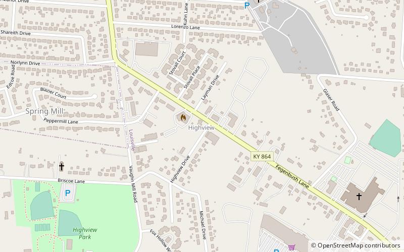
Highview is a former census-designated place in Jefferson County, Kentucky, United States. The population was 15,161 at the 2000 census.
Phoenix Hill
Phoenix Hill is a neighborhood of Louisville, Kentucky just east of Downtown. Its boundaries are Market Street to the North, Preston Street to the West, Broadway to the South, and Baxter Avenue to the East.
Whiskey Row
Whiskey Row refers to a block-long stretch from 101–133 W. Main Street that once served as home to the bourbon industry in Louisville, Kentucky.
Fairmeade
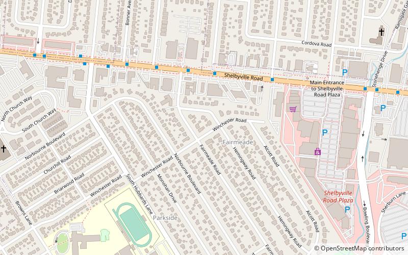
Fairmeade is a neighborhood of St. Matthews, Kentucky. The population was 264 at the 2000 census.
Springlee
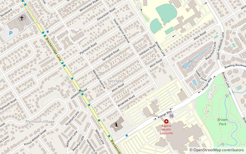
Springlee is a neighborhood of St. Matthews, Kentucky, an area of Louisville. The population was 426 at the 2000 census. Until 2000 Springlee was an independent Sixth Class city in Jefferson County, Kentucky, United States.
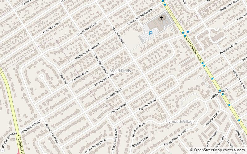
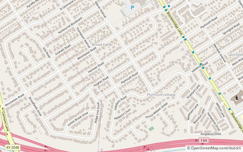
Broad Fields
Broad Fields is a neighborhood of St. Matthews, Kentucky. Broad Fields was a Sixth Class city in Jefferson County, Kentucky, United States. Broad Fields was incorporated on May 24, 1957. Broad Fields was dissolved on July 1, 2000, and annexed by St. Matthews on January 8, 2001. The population was 250 at the 2000 census.
Butchertown
Butchertown is a neighborhood just east of downtown Louisville, Kentucky, United States, bounded by I-65, Main Street, I-71, Beargrass Creek and Mellwood Avenue.
Cherokee Triangle
The Cherokee Triangle is a historic neighborhood in Louisville, Kentucky, USA, known for its large homes displaying an eclectic mix of architectural styles.
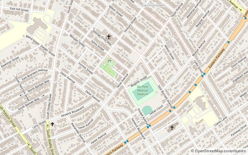
Schnitzelburg
Schnitzelburg is a neighborhood three miles southeast of downtown Louisville, Kentucky. Schnitzelburg's boundaries are Clarks Lane to the south, Shelby Street to the west, CSX railroad tracks to the north, and Goss Avenue to the east.
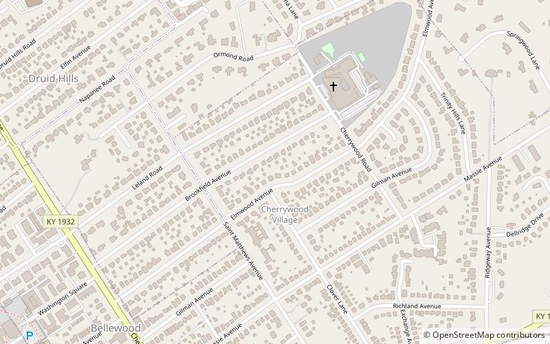
Cherrywood Village
Cherrywood Village is a neighborhood and former city in Jefferson County, Kentucky, United States. Cherrywood Village was annexed by the City of St. Matthews in 2001. The population was 327 at the 2000 census.
Crescent Hill
Crescent Hill is a neighborhood four miles east of downtown Louisville, Kentucky USA. This area was originally called "Beargrass" because it sits on a ridge between two forks of Beargrass Creek. The boundaries of Crescent Hill are N Ewing Ave to the St. Matthews city limit by Brownsboro Road to Lexington Road.
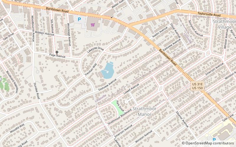
Belknap
Belknap is an urban neighborhood three and a half miles east of downtown Louisville, Kentucky, USA. The neighborhood is bound by Bardstown Road, Douglass Boulevard, Dundee Road and Newburg Road.
Plymouth Village
Plymouth Village is a neighborhood of St. Matthews, Kentucky a city in Jefferson County, Kentucky, United States. The population was 201 at the 2000 census.
South Louisville
South Louisville is a neighborhood two miles south of downtown Louisville, Kentucky, US. "South Louisville" or "South Side" is also used to describe the entire area of Southern Louisville.
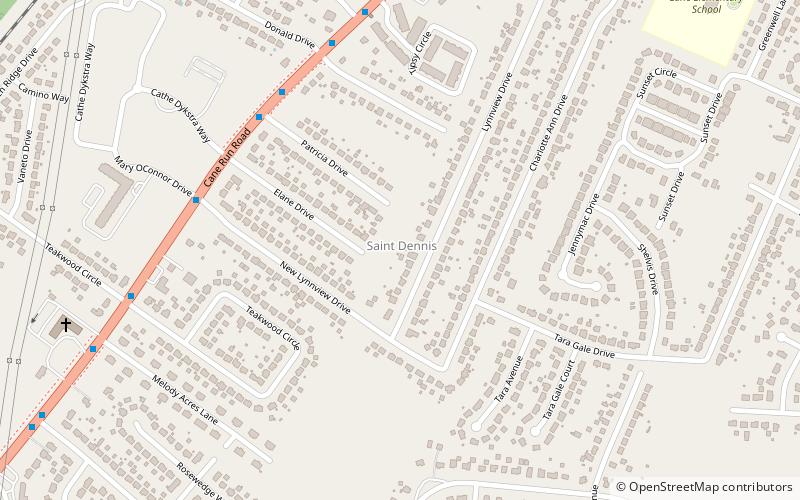
St. Dennis
St. Dennis is a former census-designated place in western Jefferson County, Kentucky, United States. The population was 9,177 at the 2000 census. In 2003, the area was consolidated into the new Louisville Metro due to the merger of the Jefferson County and Louisville governments into one entity, thus St.
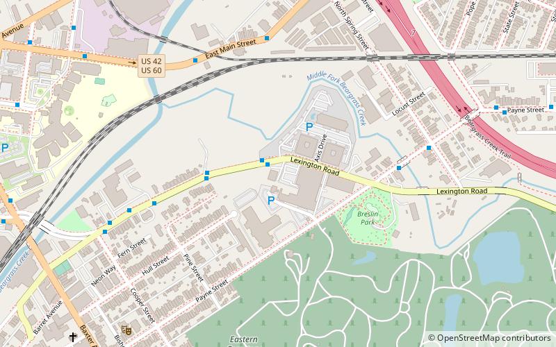
Irish Hill
Irish Hill is a neighborhood east of downtown Louisville, Kentucky USA. It is bounded by Baxter Avenue to the west, Lexington Road to the north, the middle fork of Beargrass Creek and I-64 to the east.
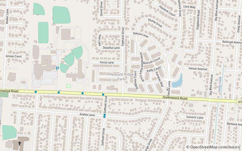
Pleasure Ridge Park
Pleasure Ridge Park is a former census-designated place in southwest Jefferson County, Kentucky, United States. The population was 26,212 at the 2010 census.
Tyler Park
Tyler Park is a neighborhood three miles southeast of downtown Louisville, Kentucky, USA. It is considered a part of a larger area of Louisville called The Highlands.
Okolona
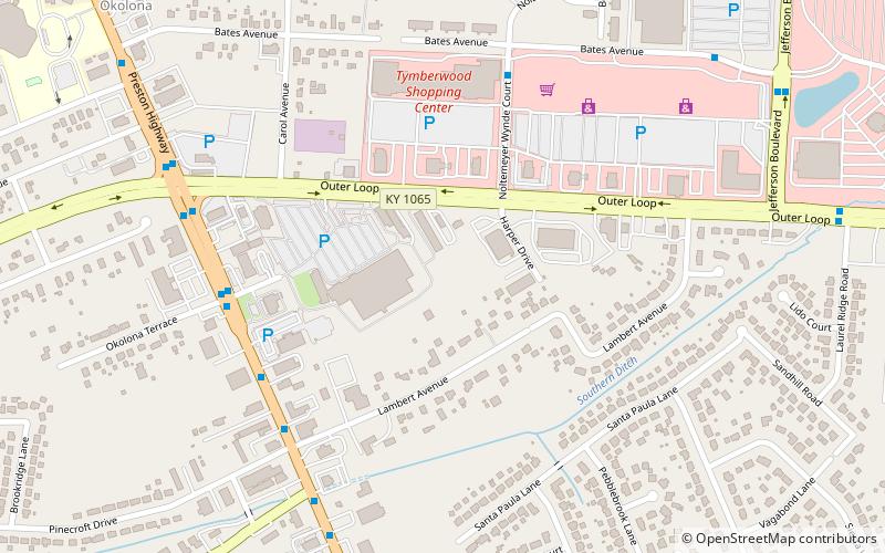
Okolona is a former census-designated place in southern Louisville/Jefferson County, Kentucky, United States. It is centered on the intersection of Preston Highway and the Outer Loop. The population was 17,807 at the 2000 census.
Fern Creek
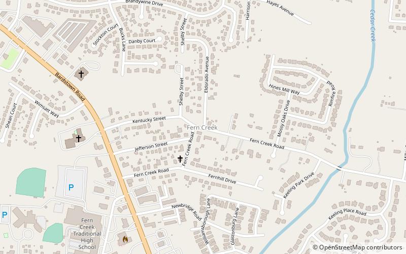
Fern Creek is a historic community in southeastern Jefferson County, Kentucky, United States. The population was 20,009 at the 2008 census.
Transylvania Beach
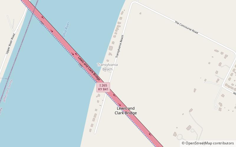
Transylvania Beach is a neighborhood of Louisville, Kentucky located on the Ohio River and centered along Transylvania Beach Road.
Fairdale
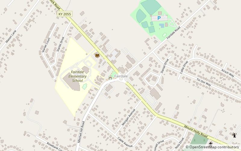
Fairdale is a former census-designated place in southern Jefferson County, Kentucky, United States. The population was 7,658 at the 2000 census.
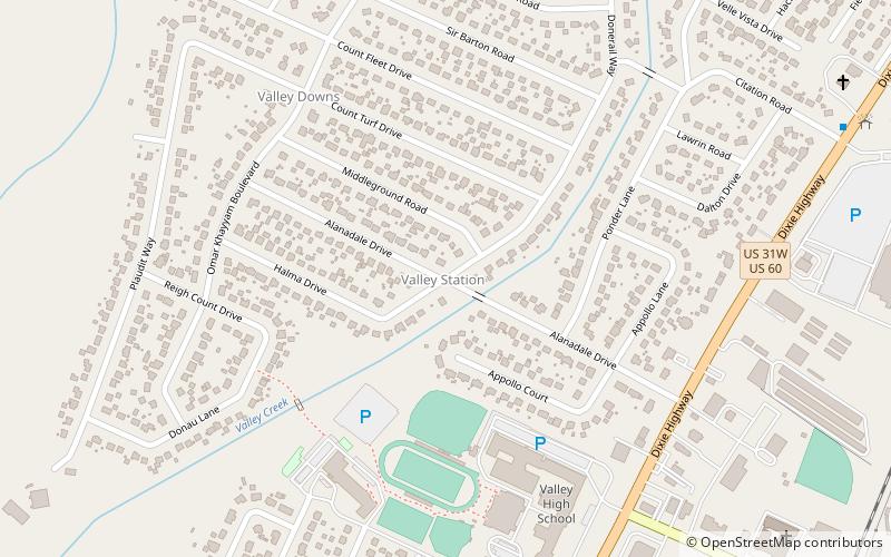
Valley Station
Valley Station is a former census-designated place in southwest Jefferson County, Kentucky, United States. The population was 22,946 at the 2000 census.
Harrods Creek
Harrods Creek is a neighborhood of Louisville, Kentucky centered near Harrods Creek at the intersection of River Road and Wolf Pen Branch Road. It is roughly bordered by the Ohio River to the west and US 42 to the east. Its ZIP code is 40027.
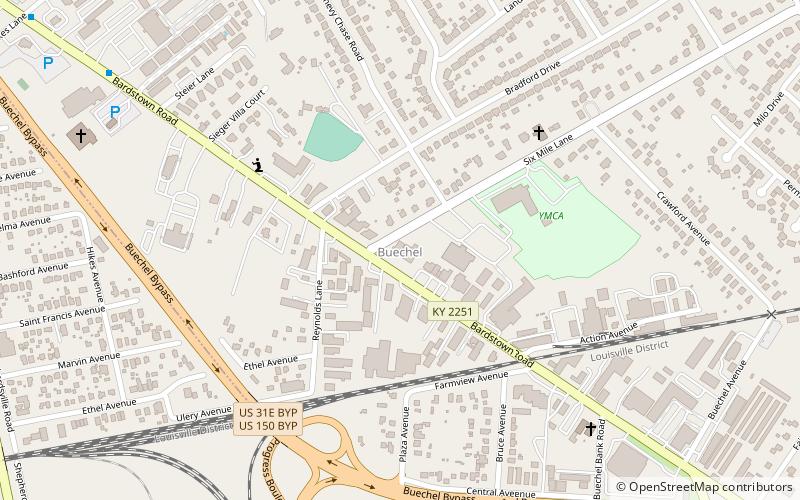
Buechel
Buechel is a former census-designated place in Jefferson County, Kentucky, United States. The population was 7,272 at the 2000 census.
Meriwether
Meriwether is a neighborhood two miles southeast of downtown Louisville, Kentucky, USA, and just east of the University of Louisville. It was laid out by David Meriwether in 1871 and the first houses were built in 1891. Nearly all of the homes are shotgun houses.
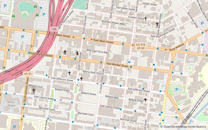
East Market District
The East Market District, colloquially referred to as NuLu, is an unofficial district of Louisville, Kentucky, situated along Market Street between downtown to the west and the Highlands neighborhoods to the east.
Rubbertown
Rubbertown is a neighborhood of Louisville, Kentucky, located along the Ohio River. During World War II, it became the home of many industrial plants which remained after the war and led to its name.
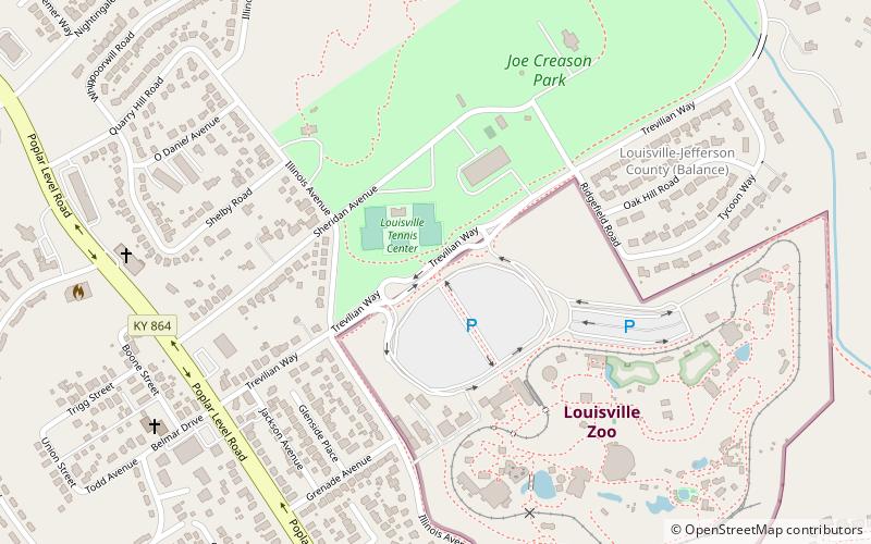
Poplar Level
Poplar Level is a neighborhood five miles southeast of downtown Louisville, Kentucky, United States. It is part of the larger Camp Zachary Taylor area.
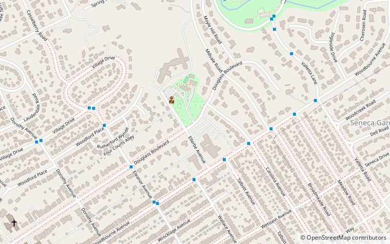
Highlands–Douglass
Highlands–Douglass is a neighborhood five miles southeast of downtown Louisville, Kentucky, United States. The neighborhood is bound by Bardstown Road, Speed Avenue, Taylorsville Road, and Cherokee Park. It is considered a part of a larger area of Louisville called The Highlands. It is often simply called Douglass.
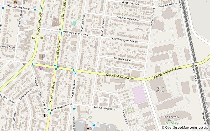
Iroquois
Iroquois is a neighborhood on the south side of Louisville, Kentucky, United States. It is split into two parts by Beechmont. The neighborhood is roughly bounded by Hazelwood Avenue, Beechmont, Third Street, Kenwood Drive, and Iroquois Park.
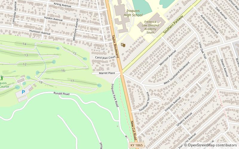
Beechmont
Beechmont is a neighborhood in the south end of Louisville, Kentucky. Its modern boundaries are I-264 to the north, Taylor Boulevard to the west, Southern Parkway and Southland Boulevard to the south, and Third Street, Allmond and Louisville Avenues to the east.
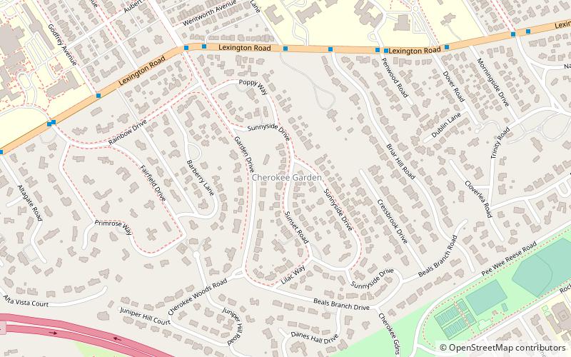
Cherokee Gardens
Cherokee Gardens is a residential area six miles east of downtown Louisville, Kentucky USA. The area is a collection of small, unconnected subdivisions along Lexington Road and large estates built just outside Cherokee Park.
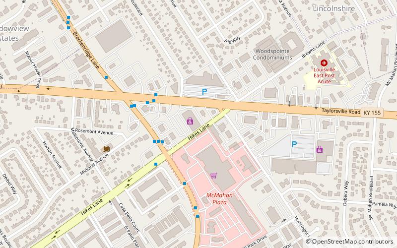
Hikes Point
Hikes Point is a neighborhood in eastern Louisville, Kentucky, USA. Its boundaries are I-264 to the north, Breckenridge Lane to the west, and irregular boundaries to the other sides.
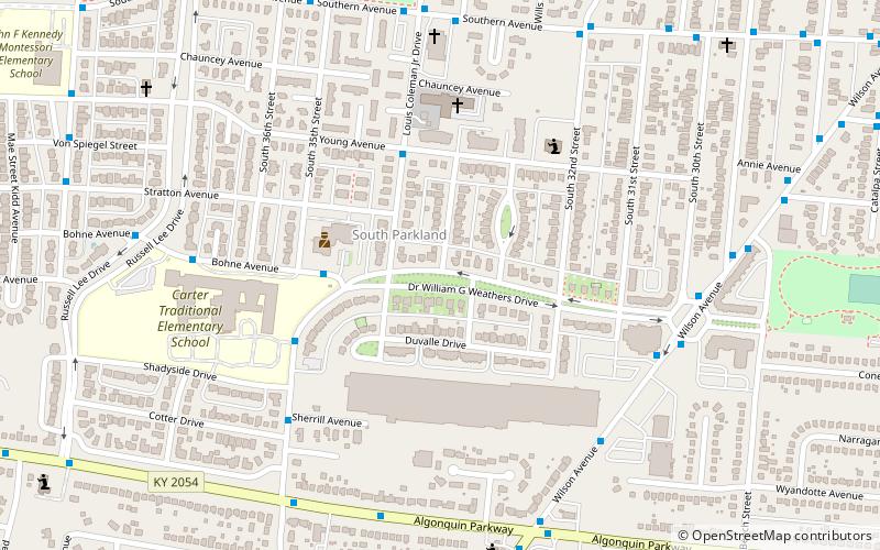
Park DuValle
Park DuValle is a neighborhood southwest of downtown Louisville, Kentucky. Its boundaries are I-264 to the west, the Norfolk Southern Railway tracks to the north, Cypress Street to the east, and Bells Lane and Algonquin Parkway to the south.
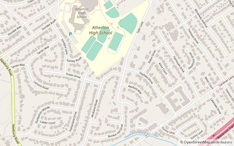
Hayfield Dundee
Hayfield-Dundee is a neighborhood in eastern Louisville, Kentucky. Its boundaries are Dundee Road, Emerson Avenue, Newburg Road, I-264, and Tremont Drive to the east. Prior to subdivision, much of the land had been part of the Hayfield Farm, owned by Dr.
Lake Dreamland
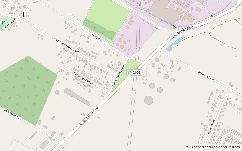
Lake Dreamland is a neighborhood of Louisville, Kentucky located along Campground Road and the Ohio River.
Bashford Manor
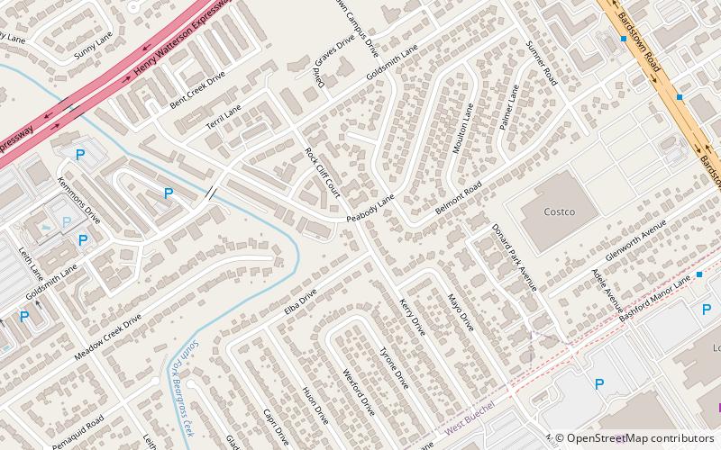
Bashford Manor is a neighborhood in Louisville, Kentucky, United States. Its boundaries are I-264 to the north, Bardstown Road to the east, Bashford Manor Lane to the south, and Newburg Road to the west.
Penile
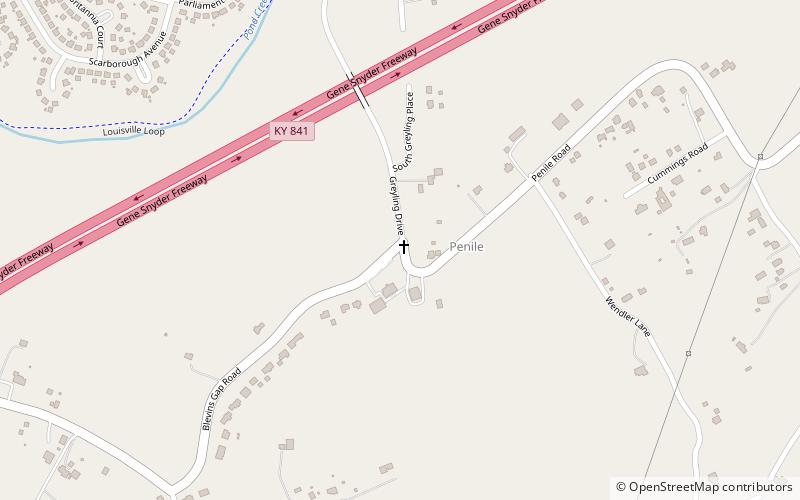
Penile is a historic community located in Jefferson County, Kentucky, United States. Formerly an unincorporated community, it was designated a neighborhood of Louisville, Kentucky when the city merged with Jefferson County in 2003.
Map

