St. Louis: Neighbourhood
Places and attractions in the Neighbourhood category
Categories
- Museum
- Park
- Church
- Area
- History museum
- Shopping
- Concerts and shows
- Neighbourhood
- Theater
- Specialty museum
- City
- Gothic Revival architecture
- Art museum
- Nightlife
- Shopping centre
- Bridge
- Sacred and religious sites
- Historical place
- Sport
- Sport venue
- Arenas and stadiums
- Golf
- Zoo
- Concert hall
- Memorial
- Art gallery
- Universities and schools
- Dancing
- Music venue
- Cemetery
- Library
- Skyscraper
- Synagogue
- Neoclassical architecture
- Tudor Revival architecture
- Colonial revival architecture
Kings Oak
Kings Oak is a neighborhood of St. Louis, Missouri. The neighborhood is named for two of its streets that make up the neighborhood's boundaries.
Wydown/Skinker
Wydown/Skinker is a neighborhood in St. Louis, Missouri. Washington University in St. Louis is located just north of this neighborhood. The neighborhood is bounded by the city limits on the west, Forsyth Boulevard on the north, Forest Park on the east and Clayton Avenue on the south.
Downtown St. Louis
Downtown St. Louis is the central business district of St. Louis, Missouri, the hub of tourism and entertainment, and the anchor of the St. Louis metropolitan area.
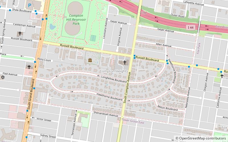
Compton Heights
The Compton Heights historic neighborhood, located near the south side of St. Louis, Missouri in the shadow of the great water tower of Reservoir Park is one of the earliest planned residential developments of the American nineteenth century.
St. Louis Hills
St. Louis Hills is a neighborhood in St. Louis, Missouri. The neighborhood, which is home to the Chippewa location of Ted Drewes Frozen Custard, is situated in the southwest part of St. Louis.
Laclede's Landing
Laclede's Landing, colloquially "the Landing", is a small urban historic district in St. Louis, Missouri, United States. It marks the northern part of the original settlement founded by the Frenchman Pierre Laclède, whose landing on the riverside the placename commemorates.
Central West End
The Central West End is a neighborhood in St. Louis, Missouri, stretching from Midtown's western edge to Union Boulevard and bordering on Forest Park with its outstanding array of free cultural institutions.
Downtown West
Downtown West is a neighborhood in St. Louis, Missouri. It is, as the name suggests, a section of downtown that is further inland, west from the banks of the Mississippi River. St. Louis City Hall, the Metropolitan Police Headquarters, St. Louis Union Station, Stifel Theatre, Enterprise Center, and the future St.
Columbus Square
Columbus Square is a neighborhood of St. Louis, Missouri. It is bounded by Cass Avenue to the north, I-70 to the east, Tucker & North 13th Streets to the west, and Cole Street to the south. Columbus Square was settled by successive waves of immigrants.
St. Louis Place
St. Louis Place is a neighborhood of St. Louis, Missouri. It is bounded by Palm Street on the North, Cass Avenue on the South, North Florissant on the East, and North Jefferson on the West.
Forest Park Southeast
Forest Park Southeast is a neighborhood of St. Louis, Missouri. It is bordered by Interstate 64 to the north, Vandeventer Avenue to the east, Interstate 44 to the south, and Kingshighway Boulevard and Forest Park to the west.
Benton Park
Benton Park is a neighborhood in southside St. Louis, Missouri, just west of the Soulard neighborhood. The official boundaries of the area are Gravois Avenue on the north, Cherokee Street on the south, I-55 on the east, and Jefferson Avenue on the west.
Midtown St. Louis
Midtown is a neighborhood in St. Louis, Missouri. It is located 3 miles west of the city riverfront at the intersection of Grand and Lindell Boulevards. It is home to the campus of Saint Louis University and the Grand Center Arts District.
The Ville
The Ville is a historic African-American neighborhood located in North St. Louis, Missouri. It has had a long history of African-American businesses and residents. This neighborhood is bounded by St.
Old North St. Louis
Old North St. Louis is a neighborhood just north and slightly west of the downtown area of St. Louis, Missouri. It is known for Crown Candy Kitchen, historic 19th-century brick homes, and its community gardens.
Dutchtown
Dutchtown is a neighborhood of St. Louis, Missouri. It is called "Dutch" from Deutsch, i.e. "German", as it was the southern center of German-American settlement in St. Louis in the early 19th century.
Benton Park West
Benton Park West is a neighborhood located in South St. Louis City, Missouri, United States. The neighborhood is bounded by Jefferson Ave. on the east, Gravois Ave. on the north and west, and an irregular boundary consisting of Cherokee Street, S.
Tower Grove South
Tower Grove South is a neighborhood of south St. Louis, Missouri. Formerly known as Oak Hill, Tower Grove South is bounded by Arsenal Street on the north, Chippewa Street on the south, Kingshighway Boulevard on the west, and Grand Boulevard on the east.
Tower Grove East
Tower Grove East is a neighborhood of St. Louis, Missouri. The Tower Grove East neighborhood is bordered by Shenandoah Avenue to the north, Nebraska Avenue to the east, Gravois Avenue to the south, and south Grand Boulevard to the west.
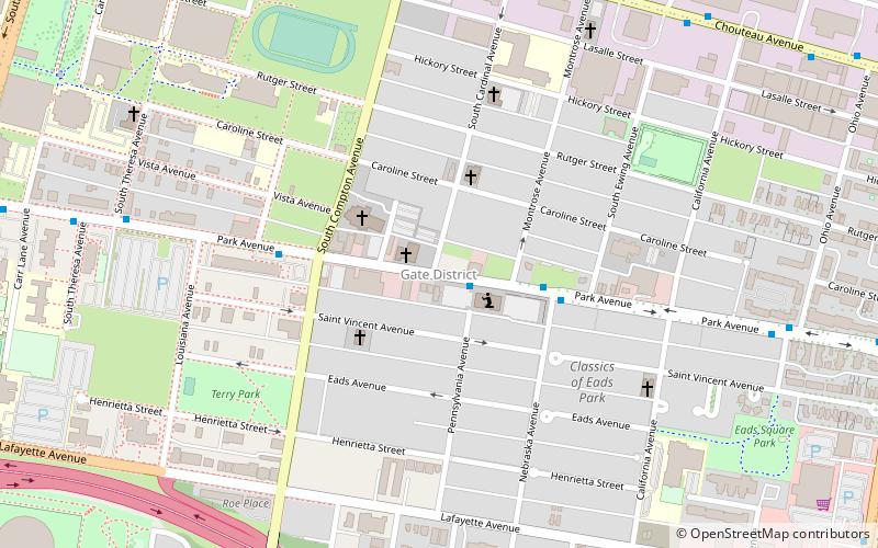
Gate District
The Gate District is a neighborhood of St. Louis, Missouri. The Gate District is defined as the area between Chouteau Avenue and Interstate 44 on the north and south and between South Jefferson Avenue and South Grand Boulevard on the east and west. This area is just south of the central corridor and west of Lafayette Square.
Skinker DeBaliviere
Skinker DeBaliviere is a neighborhood of St. Louis, Missouri located directly north of Forest Park. In addition to the park, its boundaries are Delmar Boulevard to the north, DeBaliviere Avenue to the east, and the western city limits.
Vandeventer
Vandeventer is a neighborhood of St. Louis, Missouri. The area is bounded by Dr. Martin Luther King Drive on the North, Delmar Boulevard on the South, Vandeventer Avenue on the East, and Newstead Avenue on the West.
Greater Ville
The Greater Ville is a neighborhood of St. Louis, Missouri. The area is bounded by Marcus Avenue on the northwest, Natural Bridge Avenue on the northeast, Dr. Martin Luther King Drive and St.
Gravois Park
Gravois Park is a historic neighborhood of St. Louis, Missouri. Roughly bounded by Jefferson Avenue, Chippewa Street, Grand Boulevard, and Cherokee Street, the Gravois Park neighborhood is a diverse mix of homeowners, renters, and businesses.
Lewis Place
Lewis Place is a neighborhood of St. Louis, Missouri. Lewis Place is defined by Martin Luther King Drive on the North, Delmar Boulevard on the South, Newstead Avenue on the East, and Walton on the West.
Princeton Heights
Princeton Heights is a neighborhood of St. Louis, Missouri. The neighborhood boundaries are defined as Hampton Boulevard on the west, Eichelberger on the north, Christy Boulevard on the east, and Gravois on the south.
Kingsway East
Kingsway East is a neighborhood of St. Louis, Missouri. The neighborhood is generally defined by Natural Bridge on the North, Martin Luther King on the South, Marcus Avenue on the East, and Kingshighway on the West.
Near North Riverfront
Near North Riverfront is a neighborhood of St. Louis, Missouri. Between 1990 and 2000 Near North Riverfront led the city in percentage population growth, growing 89% over the decade.
Penrose
Penrose is a neighborhood of St. Louis, Missouri. The Penrose neighborhood is split with half of it in the city's 21st Ward. and the other half in the city's 1st Ward.
Kingsway West
Kingsway West is a neighborhood of St. Louis, Missouri. The Kingsway West neighborhood is defined by Union Boulevard to its north-west and Dr. Martin Luther King Drive to its south-west. Natural Bridge Avenue forms its north-east boundary and North Kingshighway is its southeast boundary.
Academy
Academy/Sherman Park is a neighborhood in North St. Louis, just outside Central West End. The official boundaries of the area are Dr. Martin Luther King Drive on the north, Delmar Boulevard on the south, North Kingshighway Boulevard on the east, and Union Boulevard on the west.
Peabody–Darst–Webbe
Peabody–Darst–Webbe is a neighborhood of St. Louis, Missouri. It is also called the Near Southside neighborhood. Peabody–Darst–Webbe is an area bounded by S. Tucker Blvd. on the east, Chouteau Ave. on the north, Dolman Street on the west, and the I-55/I-44 interchange on the south.
Clayton/Tamm
Clayton-Tamm, also known as Dogtown, is a historic St Louis neighborhood and once an Irish-American enclave located near the western border of St. Louis, Missouri, USA, just south of Forest Park.
Fairground
Fairground is a neighborhood of St. Louis, Missouri. The neighborhood's boundaries are defined as Glasgow Avenue on the east, west and North Florissant Avenues on the north, Warne on the west, and Fairground Park and Natural Bridge Avenue on the south.
Wells/Goodfellow
Wells/Goodfellow is a neighborhood of St. Louis, Missouri. The borders of the neighborhood are defined by the St. Louis city limits on the north-western edge, Dr. Martin Luther King Drive to the south-west, Natural Bridge Avenue to the north-east, and Union Boulevard to the south-east.
Mark Twain/I-70 Industrial
Mark Twain/I-70 Industrial is a neighborhood of St. Louis, Missouri. It is bound by I-70 to the north, North Kingshighway to the east, Natural Bridge Road to the south, and the city limit to the west.
Hi-Pointe
Hi-Pointe is a neighborhood of St. Louis, Missouri, within a section known as Dogtown. It is bounded by Clayton Avenue and Oakland Avenue on the north, City Limits on the west, Dale Avenue on the south, and Louisville Avenue on the east.
Clifton Heights
Clifton Heights is a neighborhood of St. Louis, Missouri, US, located along the southwest border of the city and highlighted by a park — Clifton Park — with a playground and a lake.
Botanical Heights
Botanical Heights is a neighborhood of St. Louis, Missouri. Its former name was McRee Town. The Botanical Heights neighborhood is defined by Chouteau Avenue on the North, Interstate 44 on the South, 39th Street on the East and Vandeventer Avenue on the West.
Washington University Hilltop Campus Historic District
The Washington University Hilltop Campus Historic District was the site of the 1904 Louisiana Purchase Exposition and the 1904 Summer Olympics.
McKinley Heights
McKinley Heights is a historic conservation neighborhood located in the near South Side of the City of St. Louis. It was rated as a Top 10 Neighborhood for young adults in the St. Louis metropolitan area.
Map


