Toronto: Neighbourhood
Places and attractions in the Neighbourhood category
Categories
- Park
- Church
- Museum
- Shopping
- Nightlife
- Shopping centre
- Theater
- Gothic Revival architecture
- Concerts and shows
- Art museum
- Neighbourhood
- Bridge
- History museum
- Skyscraper
- Music venue
- Cinema
- Music and shows
- Historical place
- Architecture
- Synagogue
- Library
- Tower
- Specialty museum
- Cemetery
- Sport
- Sport venue
- Dancing
- Modernist architecture
- Garden
- Postmodern architecture
- Universities and schools
- Romanesque architecture
- Event space
- Concert hall
- Memorial
- Art gallery
- Beach
- Playground
- Monuments and statues
- Performing arts
- Sacred and religious sites
- Golf
- Georgian architecture
- Harbor
- Entertainment
- Outdoor activities
- Amusement park
- Vernacular architecture
- Street
- Mosque
- Military museum
- Interesting neighbourhood
- Zoo
- Convention center
- Edwardian architecture
- City hall
- Rock club
- Temple
- Restaurant
- Arenas and stadiums
- Beaux-Arts architecture
- Waterfront
- Football
- Entertainment district
- Neoclassical architecture
- Ice rink
- Town
Grange Park
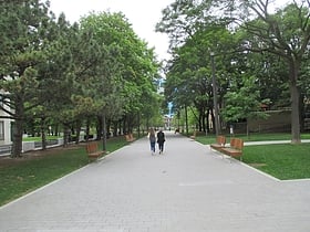
Grange Park is a prominent and well-used public park in downtown Toronto, Ontario, Canada, located south of the Art Gallery of Ontario, beside the Ontario College of Art and Design University, and north of University Settlement House, at the north end of John Street.
Gooderham Building
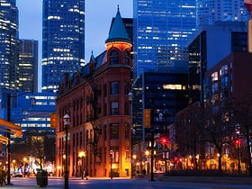
The Gooderham Building, also known as the Flatiron Building, is an historic office building at 49 Wellington Street East in Toronto, Ontario, Canada. It is located on the eastern edge of the city's Financial District in the St.
Playter Estates
Playter Estates is an area in the east end of Toronto, Ontario, Canada bounded by Jackman Avenue to the east, the Don River Valley to the west, Danforth Avenue in the south, and Fulton Avenue in the north.
Koreatown
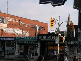
Koreatown is an ethnic enclave within Seaton Village, a neighbourhood of Toronto, Ontario, Canada. Located along Bloor Street between Christie and Bathurst Streets, the area is known for its Korean business and restaurants.
North York City Centre
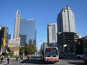
North York City Centre is a central business district in Toronto, Ontario, Canada in the administrative district of North York.
Kensington Market
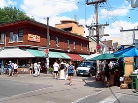
Arty home to vintage shops and grocers Kensington Market is a distinctive multicultural neighbourhood in Downtown Toronto, Ontario, Canada. The Market is an older neighbourhood and one of the city's most well-known. In November 2006, it was designated a National Historic Site of Canada.
Downtown Yonge
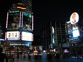
Downtown Yonge is a retail and entertainment district centred on Yonge Street in Downtown Toronto, Ontario, Canada. The Downtown Yonge district is bounded by Richmond Street to the south; Grosvenor and Alexander Streets to the north; Bay Street to the west; and portions of Church Street, Victoria Street, and Bond Street to the east.
Guildwood
Guildwood, also known as Guildwood Village, is a residential neighbourhood in Scarborough, Toronto, Ontario, Canada. It is located along the Scarborough Bluffs, south of Kingston Road, from Grey Abbey Trail in the east.
Railway Lands
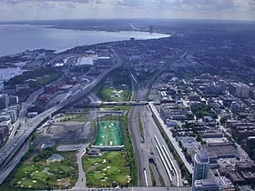
Railway Lands is an area in Downtown Toronto, Ontario, Canada. Originally a large railway switching yard near the Toronto waterfront, including the CNR Spadina Roundhouse and the CPR John Roundhouse, it has since been redeveloped and today is home to mostly mixed-used development, including the CN Tower and the Rogers Centre.
Downtown Toronto
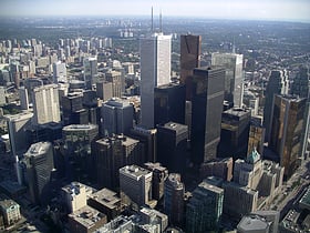
Downtown Toronto is the main central business district of Toronto, Ontario, Canada. Located entirely within the district of Old Toronto, it is approximately 16.6 square kilometres in area, bounded by Bloor Street to the northeast and Dupont Street to the northwest, Lake Ontario...
The Annex
The Annex is a neighbourhood in Downtown Toronto, Ontario, Canada. The traditional boundaries of the neighbourhood are north to Dupont Street, south to Bloor Street, west to Bathurst Street and east to Avenue Road.
Cabbagetown
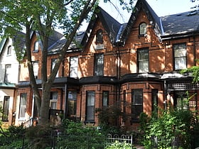
Cabbagetown is a neighbourhood in central Toronto, Ontario, Canada. Administratively, it is defined as part of the Cabbagetown-South St. Jamestown neighbourhood.
Financial District
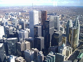
The Financial District is the central business district of Downtown Toronto, Ontario, Canada. It was originally planned as New Town in 1796 as an extension of the Town of York.
Midtown
Midtown is one of four central business districts outside the city's downtown core of Toronto, Ontario, Canada. Located in the north of Old Toronto, its borders are roughly defined by St.
Queen Street West
Trendy neighborhood with shops and bars Queen Street is a major east-west thoroughfare in Toronto, Ontario, Canada. It extends from Roncesvalles Avenue and King Street in the west to Victoria Park Avenue in the east.
St. Lawrence
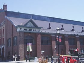
St. Lawrence is a neighbourhood located in downtown Toronto, Ontario, Canada. The area, a former industrial area, is bounded by Yonge, Front, and Parliament Streets, and the Canadian National railway embankment.
Scarborough City Centre
Scarborough City Centre is a commercial district in Toronto, Ontario, Canada. It was the central business district for the former city of Scarborough, which amalgamated with Toronto in 1998.
Wychwood Park
Wychwood Park is a neighbourhood enclave and private community in Toronto, Ontario, Canada. It is located west of Bathurst Street on the north side of Davenport Road, within the larger area of Bracondale Hill.
North York
North York is one of the six administrative districts of Toronto, Ontario, Canada. It is located directly north of York, Old Toronto and East York, between Etobicoke to the west and Scarborough to the east.
Etobicoke
Etobicoke is an administrative district of, and one of six municipalities amalgamated into, the city of Toronto, Ontario, Canada.
South Core
South Core is a neighbourhood located in downtown Toronto, Ontario, Canada. The South Core occupies the eastern portions of the Railway Lands.
Mimico
Mimico is a neighbourhood in Toronto, Ontario, Canada, being located in the south-west area of Toronto on Lake Ontario. It is in the south-east corner of the former Township of Etobicoke, and was an independent municipality from 1911 to 1967.
Riverdale
Riverdale is a large neighbourhood in Toronto, Ontario, Canada. It is bounded by the Don River Valley to the west, Danforth Avenue and Greektown to the north, Jones Avenue, the CN/GO tracks, Leslieville to the east, and Lake Shore Boulevard to the south.
Leslieville
Leslieville is a neighbourhood in Toronto, Ontario, Canada, situated east of the Don River. It is bounded by the Canadian National railway line and Gerrard Street to the north, McGee Street to the west, Eastern Avenue to south, and Coxwell Avenue to the east.
Liberty Village
Liberty Village is a neighbourhood in Toronto, Ontario, Canada. It is bordered to the north by King Street West, to the west by Dufferin Street, to the south by the Gardiner Expressway, to the east by Strachan Avenue, and to the northeast by the CP railway tracks.
Scarborough
Scarborough is a district of Toronto, Ontario, Canada, atop the Scarborough Bluffs in the eastern part of the city. Its borders are Victoria Park Avenue to the west, Steeles Avenue to the north, Rouge River and the city of Pickering to the east, and Lake Ontario to the south.
Upper Beaches
The Upper Beaches is a neighbourhood in Toronto, Ontario, Canada. It is directly north of the Beaches area. It stretches from Coxwell Avenue in the west to Victoria Park in the east.
Mount Dennis
Mount Dennis is a neighbourhood in the York district of Toronto, Ontario, Canada, and Ward 11 in Toronto.
Church and Wellesley
Church and Wellesley is an LGBT-oriented enclave in Toronto, Ontario, Canada. It is roughly bounded by Gerrard Street to the south, Yonge Street to the west, Charles Street to the north, and Jarvis Street to the east, with the core commercial strip located along Church Street from Wellesley south to Alexander.
New Toronto
New Toronto is a neighbourhood and former municipality in Toronto, Ontario, Canada. It is located in the south-west area of Toronto, along Lake Ontario. The Town...
Jane and Finch
Jane and Finch is a neighbourhood located in the northwest end of Toronto, Ontario, Canada, in the district of North York. Centred at the intersection of Jane Street and Finch Avenue West, the area is roughly bounded by Highway 400 to the west, Black Creek to the east, Sheppard Avenue to the south, and Steeles Avenue to the north.
High Park North
High Park North, or often simply High Park, after the park, is a neighbourhood in Toronto, Ontario, Canada. It is bounded on the south by Bloor Street, on the west by Runnymede Road, on the north by Annette Street, Quebec Avenue and Humberside Avenue, and on the east by the GO Transit Weston Subdivision rail tracks.
The Kingsway
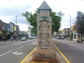
The Kingsway is a residential neighbourhood in Etobicoke, Toronto, Ontario, Canada. It is bounded by Bloor Street to the south, Dundas Street to the north, the Mimico Creek to the west and the Humber River to the east.
Thorncliffe Park
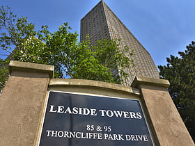
Thorncliffe Park is a neighbourhood in Toronto, Ontario, Canada, in the former Borough of East York.
Little Portugal
Little Portugal is a neighbourhood and ethnic enclave in Toronto, Ontario, Canada. It is located west of downtown in the "Old" City of Toronto.
St. James Town
St. James Town is a neighbourhood of Toronto, Ontario, Canada. It lies in the northeast corner of the downtown area. The neighbourhood covers the area bounded by Jarvis Street to the west, Bloor Street East to the north, Parliament Street to the east, and Wellesley Street East to the south.
Fairbank
Fairbank is a neighbourhood in Toronto, Ontario, Canada. The area covers a large central portion of the former City of York, Ontario centred on the intersection of Dufferin Street and Eglinton Avenue West. Fairbank includes the neighbourhoods of Briar Hill–Belgravia and...
Don Valley Village
Don Valley Village is a neighbourhood in the city of Toronto, Ontario, Canada. It is located in the former suburb of North York.
Armour Heights
Armour Heights is a neighbourhood in Toronto, Ontario, Canada, in the district of North York. It is bounded by Wilson Avenue to the south, Bathurst Street to the west, and the west branch of the Don River to the north and east.
Harbord Village
Harbord Village is a neighbourhood in Toronto, Ontario, Canada. It lies just to the west of the University of Toronto, with its most commonly accepted borders being Bloor Street on the north, Spadina Avenue on the east, College Street to the south, and Bathurst Street to the west.
Humber Heights-Westmount
Humber Heights-Westmount, also known as Humbervale, is a neighbourhood in Etobicoke, Toronto, Ontario. The neighbourhood is bounded by the west bank of the Humber River, west to Royal York Road and south to Eglinton Avenue West.
Junction Triangle
Junction Triangle is a neighbourhood in Toronto, Ontario, Canada. It is located in the city's west end, just west of Lansdowne Avenue.
Dovercourt Park
Dovercourt Park or Dovercourt Village is a neighbourhood in Toronto, Ontario, Canada situated north of Bloor Street between Christie Street to the east, the CPR railway lines to the north, and Dufferin Street to the west.
Humber Summit
Humber Summit is a neighbourhood in Toronto, Ontario, Canada. It is one of the northernmost neighbourhoods in Toronto, located in the North York district of the city.
Silverthorn
Silverthorn, often misspelled as Silverthorne, is a neighbourhood in Toronto, Ontario, Canada. It was part of the former City of York before the amalgamation of Toronto in 1998.
Map

